List Your Land
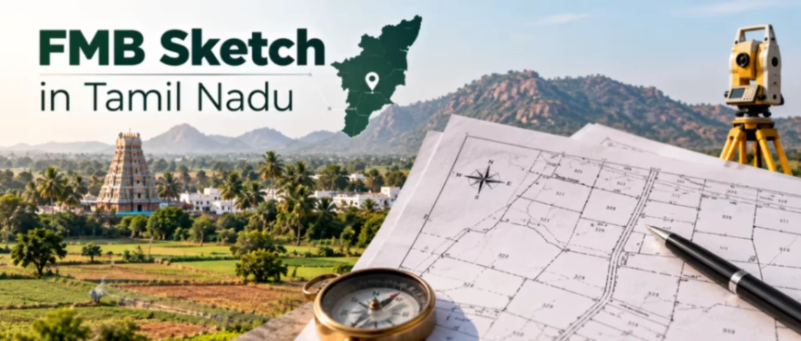
An FMB Sketch is the official survey drawing that shows a land parcel's exact boundaries, dimensions, and neighbouring survey numbers. In Tamil Nadu, it's maintained by the Survey and Settlement Department as part of the Field Measurement Book and made available through the state's e-Services portal. It matters because it's the only document that shows what the land's boundaries are actually supposed to be, independent of who currently claims to own it — mismatches here are a leading cause of boundary disputes. This guide covers what an FMB Sketch means, how to view and download it online in Tamil Nadu, what a correct sketch should contain, and how to fix common problems buyers encounter. Whether you're searching for farmland near me, comparing listings on a property listing site, or preparing your own land for sale, this is the record every surveyor and bank will cross-check before finalising a deal.
Section 1 — What is an FMB Sketch in Tamil Nadu?
Before relying on any listing description alone, it helps to see the land on a map first — on the 2Bigha land map, typing "Tamil Nadu" into the search box surfaces plots across the state you can compare against the official survey record — view Tamil Nadu land parcels on the 2Bigha map.
Definition: An FMB Sketch is the official survey diagram, drawn from the Field Measurement Book, showing a parcel's boundaries, dimensions, sub-divisions, and adjoining survey numbers.
The FMB draws its legal standing from the Tamil Nadu Survey and Boundaries Act, 1923, and is preserved in book form at the Taluk office, with digitised copies now available through the state's e-Services portal for most villages. This is different from a Patta, which proves ownership — the FMB instead proves what the land's physical boundaries are meant to be, based on the original government survey. Buyers specifically need this because a mismatch between the FMB and the on-ground boundary, or between the FMB and the sale deed's schedule, is one of the most common sources of resale disputes in Tamil Nadu.
State-specific note: For rural and Natham (village house-site) parcels, choose "Rural"; for urban parcels, the equivalent record is the Town Survey Land Record (TSLR), accessed through the same portal under "Urban."
Expert Tip: If your on-ground measurement differs from the FMB by more than a small margin, don't assume the FMB is simply outdated — get a fresh DGPS survey done and apply for an FMB correction through the Taluk Office rather than proceeding on a mismatched boundary.
Section 2 — How to Get an FMB Sketch in Tamil Nadu?
Here's how the online and offline routes compare for buyers who need to verify boundaries before purchase.
Method | Cost | Time | Legally valid for registration? |
|---|---|---|---|
Online (view & PDF download) | Free | Instant | Reference only |
Online (certified copy via Taluk Office request) | ~₹100–₹300 | 3–7 working days | Yes |
Offline (Taluk Office/VAO) | ~₹100–₹300 | 3–7 working days | Yes |
Visit the TN e-Services portal. Go to eservices.tn.gov.in and select "View Patta & FMB / Chitta / TSLR Extract."
Choose Rural or Urban. Select "Rural" for village and Natham parcels, or "Urban" for TSLR-classified town parcels.
Select district, taluk, and village. Drill down through the administrative hierarchy to your specific location.
Enter survey or Patta number. Provide the survey number and, if applicable, the sub-division number.
View and download. Submit the form with the authentication code to view the sketch, and download it as a PDF.
Visit the Taluk Office or VAO. Carry your Patta and survey number details.
Submit a certified-copy application. Request a stamped, certified FMB sketch for official use.
Pay the applicable fee. Charges typically fall in the ₹100–₹300 range.
Collect the certified sketch. Processing usually takes 3 to 7 working days.
If your village's records aren't yet digitised, the offline route through the Taluk Office is your only option. Before relying on the sketch, check that the survey number, sub-division, and neighbouring field numbers all match your sale deed schedule — and physically compare the boundary lines with the site itself where possible.
Section 3 — What Does an FMB Sketch Contain?
Once you've confirmed the boundaries are accurate, it's worth cross-checking the listing itself against other verified options — start at the 2Bigha homepage to compare similar parcels before you commit.
Field | What it means | What to check |
|---|---|---|
Survey number | The unique identifier for the parcel | Matches your Patta and sale deed |
Sub-division number | Identifies a specific portion within a larger survey number | Matches the exact portion you're buying |
Boundary lines (F-line) | The outer field boundary of the survey number | Consistent with the physical site |
Neighbouring survey numbers | Adjoining plots referenced for cross-verification | Match what's shown in adjoining owners' documents |
Dimensions & area | Measured size of the parcel | Matches the area stated in your deed |
Sketch date | When the sketch was last recorded or updated | Reflects the current subdivision, if any |
Good sign: A correct FMB sketch shows boundary lines and dimensions consistent with your sale deed, correctly labelled neighbouring survey numbers, and no unresolved mismatch between the recorded area and what's stated in your documents.
Section 4 — Common Issues & How to Fix Them?
Boundary-related confusion is common in Tamil Nadu, especially for older or recently subdivided parcels. Always cross-check against the FMB Sketch in Tamil Nadu official website rather than relying solely on a broker's copy.
FMB not available online – The village may not yet be digitised – Fix: visit the Taluk Office or VAO office directly for a certified copy.
On-ground measurement doesn't match the FMB – Can result from encroachment, boundary erosion, or an old survey error – Fix: commission a fresh DGPS survey and apply for an FMB correction if the mismatch is significant.
Sub-division not reflected in the sketch – Happens when a recent partition hasn't been updated in the FMB – Fix: apply for an updated sketch through the Taluk Office before relying on the old version.
Neighbouring survey number mismatch – Adjoining plots sometimes show inconsistent references – Fix: cross-check with the neighbouring landowner's own FMB or Patta before finalising boundaries.
Wrong Rural/Urban selection on the portal – A common search error that returns no results – Fix: confirm whether the parcel is Natham/Rural or falls under a Town Survey (Urban) classification before searching.
FMB conflicts with the sale deed schedule – Indicates a possible drafting error or an old, unresolved dispute – Fix: resolve the discrepancy with the seller and a surveyor before registration.
Section 5 — Recent Changes in 2026
Tamil Nadu's e-Services portal continues to offer free online viewing and PDF download of digitised FMB sketches for most rural and Natham survey numbers, alongside the equivalent Town Survey Land Record (TSLR) for urban parcels. No major statewide change to the FMB sketch process or fee structure has been confirmed as of August 2026. Since not all villages are digitised at the same pace, buyers in older or remote areas should confirm directly with the Taluk Office whether their specific village's FMB is available online.
Section 6 — Why an FMB Sketch Matters for Land Buyers?
It's the government's authoritative record of a parcel's actual surveyed boundaries and dimensions.
Sub-Registrars require an accurate FMB before registering the sale of a subdivided plot.
Banks and DTCP typically require a certified FMB before approving loans or layout applications.
It helps buyers catch boundary mismatches before completing a purchase, not after.
It's a required reference document for converting agricultural land to non-agricultural use.
A verified FMB reduces future dispute risk when the land is eventually listed for sale.
Section 7 — FMB Sketch vs. Patta
These two are frequently confused since both are core land records requested during due diligence.
Aspect | FMB Sketch | Patta |
|---|---|---|
What it proves | The physical boundaries and dimensions of the land | Who legally owns the land |
Issued by | Survey and Settlement Department | Revenue Department (Tahsildar) |
Governing law | Tamil Nadu Survey and Boundaries Act, 1923 | Revenue administration records |
Shows ownership? | No | Yes |
The FMB proves what the land physically is; the Patta proves who owns it. Both are needed together before you can be confident in a purchase. Once boundaries and ownership are both verified, you can move ahead with listing your land or comparing options via 2Bigha's selling platform.
Section 8 — Related Documents
DTCP Approval in Tamil Nadu — for confirming a layout's legal planning status
Encumbrance Certificate in Tamil Nadu — for checking a property's transaction history
CRZ Clearance in Tamil Nadu — required for land near the coastline
Patta & Chitta verification guide — for confirming legal ownership