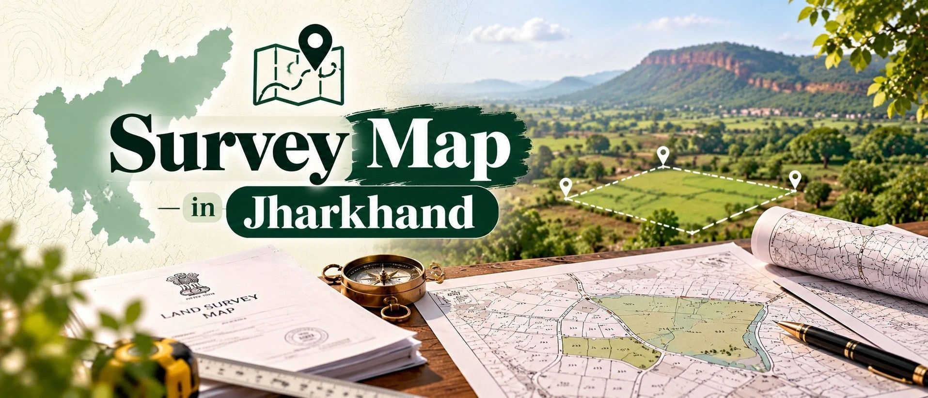
A Survey Map, known locally as Bhu Naksha, is the official spatial record showing a plot's exact boundaries, shape, and dimensions against its survey number. It matters because it's the one document that confirms what you're actually buying physically matches what the paperwork says on paper — a mismatch here is one of the most common causes of boundary disputes after purchase. This is a core part of due diligence for anyone dealing with land in Jharkhand, whether you're buying agricultural land, applying for a crop loan, or settling an inheritance. This guide covers how to do a bhoomi map survey number search on Jharkhand's official portal, what a correct digital sky map should contain, and where buyers most often go wrong when relying on it alone.
Section 1 — What is Survey Map in Jharkhand?
Before diving into how survey maps work, it helps to see what's actually available — you can browse current listings across Jharkhand on the 2Bigha map to get a sense of plot sizes and locations before cross-checking any specific survey number.
In simple terms, a Survey Map is a scaled drawing showing exactly where a plot's boundaries sit, its shape, and its area, based on the official survey number recorded for that land.
It's frequently confused with the Khatiyan (Record of Rights), but they capture different kinds of information: the survey map is spatial — boundaries, shape, dimensions — while the Khatiyan is textual, showing who holds rights to the land and under what classification. Jharkhand runs these as genuinely separate systems on the Jharbhoomi portal — Bhu Naksha for the spatial data, and Apna Khata/Register II for the textual record — and a plot can show cleanly on one system while having an issue on the other.
Jharkhand's survey data combines geodetic, boundary, and cadastral survey methods, increasingly cross-checked with GPS and satellite inputs as digitization has progressed. Still, older rural parcels — particularly those that haven't changed hands in decades — can carry survey data that predates this modernization, which is exactly where a mismatch between the map and the actual ground boundary tends to surface.
A buyer needs this specifically because the survey number is the anchor every other land document references — your Khatiyan, your registration, and any loan application all tie back to it, and if the boundary the map shows doesn't match what you're shown on-site, everything built on top of that survey number inherits the same uncertainty.
Land ownership note: In Jharkhand specifically, always check the land's classification alongside its boundaries — under the Chotanagpur Tenancy Act (CNT) and Santhal Parganas Tenancy Act (SPT), tribal-classified land carries transfer restrictions to non-tribals regardless of how clean its survey map looks. A perfect boundary map on tribal land doesn't make that land freely purchasable.
Expert Tip: Don't treat the digital Bhu Naksha as your final answer — pair it with an actual site visit and, ideally, a licensed surveyor's physical verification, especially for agricultural plots where old field boundaries (bunds, informal divisions between family shares) often don't match the digitized map exactly.
Section 2 — How to Get Survey Map in Jharkhand?
Checking a survey map in Jharkhand is largely a self-service digital process, though a certified copy for formal use still runs through the local Circle Office.If you already know the plot's survey number, you can run a quick farmland search directly on the portal instead of browsing Mauza by Mauza.
Method | Cost | Time | Legally valid for registration? |
|---|---|---|---|
Online (view/download from JharBhuNaksha) | Free | Instant | Reference only — not a certified copy for registration |
Online (certified copy requested via portal, where offered) | Nominal fee | A few days | Yes, once issued as certified |
Offline (Circle Office / Anchal Adhikari office) | Nominal fee | A few days, depending on manual verification | Yes, once issued and signed |
1. Visit the JharBhuNaksha portal — Go to the Bhu Naksha section on jharbhoomi.jharkhand.gov.in.
2. Select District, Circle, Halka, and Mouza — Narrow down to the exact revenue circle and village where the land is located.
3. Enter the plot/survey number — Locate your specific plot using the Khasra/survey number.
4. Open the Map Report — View the digitized map showing boundaries, shape, and area under Plot Info.
5. Download or print for reference — Save a copy for your records, keeping in mind this isn't a certified copy on its own.
1. Visit the Circle Office (Anchal) for your block — Bring the survey number, Mauza name, and your ID proof.
2. Request a certified copy of the survey map — Submit a written request specifying the exact plot.
3. Pay the applicable fee — Pay as quoted and collect a receipt with a reference number.
4. Collect the signed and stamped map — Verify the survey number and boundary details before leaving the office.
Turnaround at the Circle Office depends on whether your specific plot's data needs manual cross-verification against older physical registers. Before relying on any copy for a transaction, check that the boundary shown genuinely matches what you'd see walking the actual plot — a clean-looking digital map is still worth confirming on the ground.
Section 3 — What Does Survey Map Contain?
Reading a survey map means checking a handful of specific fields, not just glancing at the shape. For land where boundaries are already well-documented, you can start browsing from the 2Bigha homepage.
Field | What it means | What to check |
|---|---|---|
Survey/Khasra number | Identifies the exact plot the map represents | Matches your Khatiyan and any ownership document precisely |
Boundary lines and shape | Shows the plot's physical extent as last surveyed | Consistent with what you observe on an actual site visit |
Area/dimensions | States the plot's measured size | Reasonably close to what a physical walkthrough or local surveyor confirms |
Mauza and Halka reference | Confirms which village and revenue circle the plot falls under | Matches your other land documents exactly |
Good sign: A usable survey map clearly shows the correct survey number, boundaries that are consistent with what you'd see on-site, and a stated area that reasonably matches your expectations. If the shown boundary looks noticeably different from the actual plot on the ground, or the area figure seems off, treat that as a reason to get a physical survey done before proceeding, not something to explain away.
Section 4 — Common Issues & How to Fix Them?
Most survey map issues in Jharkhand trace back to older, less-digitized rural records rather than the online system itself being unreliable.
For a query specific to your plot, the Survey Map Jharkhand official website is the right place to start.
Boundary shown online doesn't match ground reality
Issue: Older rural surveys can be out of step with actual field boundaries, especially where informal family divisions have occurred over generations. Fix: Get a physical verification from the Circle Office or a licensed surveyor before finalizing a purchase.
Plot not found using the survey number alone
Issue: The Khasra number search sometimes needs the correct Mauza and Halka selected first to return a match. Fix: Try the Khata number or owner name search instead, or confirm the correct Mauza/Halka with the seller.
Area mismatch between map and Khatiyan
Issue: The spatial system (Bhu Naksha) and textual system (Apna Khata) are separate and can occasionally show slightly different figures. Fix: Flag the discrepancy at the Circle Office for correction through the Parishodhan portal rather than assuming one is automatically correct.
Downloaded map lacks a certification stamp
Issue: A free online download or screenshot isn't accepted as a certified copy for registration or loan purposes. Fix: Request a certified copy from the Circle Office specifically when the purpose requires legal validity.
Old joint-family plot never formally subdivided on the map
Issue: Land informally divided among heirs may still show as a single undivided survey number on the map. Fix: Pursue formal partition/mutation before assuming your specific share is separately identifiable on the map.
Confusing tribal-classified land's clean map with purchase eligibility
Issue: A well-documented boundary doesn't override CNT/SPT Act transfer restrictions on tribal land. Fix: Check the land's classification on the Khatiyan separately — a clean survey map says nothing about transfer eligibility.
Section 5 — Recent Changes in 2026
The Jharbhoomi portal has continued rolling out convenience features, including a mobile app for viewing land records, Bhu Naksha, and mutation status on the go, along with the Parishodhan portal for requesting corrections to discrepancies in Register-II or Khatiyan entries. As of August 2026, buyers should confirm with their local Circle Office whether their specific Mauza's survey data has been fully digitized, since rollout has not been uniform across all blocks.
Section 6 — Why Survey Map Matters for Land Buyers?
It's the fastest way to confirm a plot's actual boundaries before you commit to a purchase.
Banks require a matching, verified survey record before disbursing a loan against the land.
It protects against boundary disputes with neighboring plots, which are a common source of litigation on older rural land.
It's the reference point every other document — Khatiyan, deed, mutation — is built around via the survey number.
A clearly documented, verified boundary materially strengthens a plot's resale value.
Section 7 — Survey Map vs. Khatiyan (Record of Rights)
Aspect | Survey Map | Khatiyan (Record of Rights) |
|---|---|---|
Type of information | Spatial — boundaries, shape, and dimensions | Textual — ownership, classification, tenancy rights |
System it comes from | Bhu Naksha (JharBhuNaksha) | Apna Khata / Register II |
What checking it tells you | Exactly where the boundaries sit on the ground | Who holds rights to the land and under what classification |
Land with clearly verified, dispute-free boundaries is a genuinely stronger listing — if that's true of your plot, you can list it for sale on 2Bigha, one of the property websites where a clean, verified boundary record helps a listing stand out.
Section 8 — Related Documents
Title Deed Jharkhand 2026 — the legal transaction record your survey number ties into
How to Buy Land in Jharkhand (2026 Guide) — the full purchase process this survey check fits into
Buying Agricultural Land in Jharkhand — Legal Guide (CNT/SPT Act)