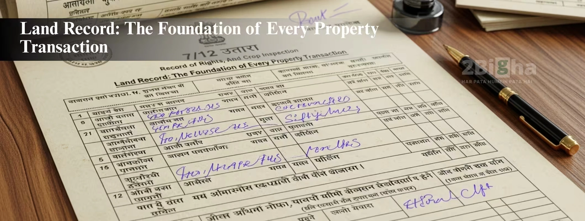
The land records can be described as official records that provide the particulars of ownership of land and boundary information, as well as past deals and use rights, in addition to the official status for the parcel. They can help you determine who is the owner of the property is, how it has been used over time, and if there are any issues or restrictions related to the land. In India, Land records are vital for purchasing the property, selling it, transferring a lease, developing, or confirming the property. The accuracy of land records can safeguard buyers from fraud, facilitate smooth registration, and guarantee the transparency of real estate transactions.
100 Essential Land Record Terms Every Indian Buyer Should Know
Understanding land-related terms is extremely important for buyers, developers, investors, and anyone dealing with property. India’s land management system uses a wide range of legal, administrative, and technical terms that can often feel confusing.
This guide simplifies 100 essential land record terms so you can make confident, informed decisions during any property transaction.
- Mutation—Process of updating ownership details in land records after sale or inheritance.
- Jamabandi – Record of rights showing land ownership, cultivation, and revenue details.
- Khasra Number—Unique plot number used to identify land in rural areas.
- Khatauni – Record showing the list of farmers cultivating a specific landholding.
- Patta—Legal document proving land ownership or lease rights.
- Chitta—Tamil Nadu’s land record showing land classification and ownership.
- Adangal—A Tamil Nadu document showing crop details and land status.
- ROR (Record of Rights)—Contains ownership, tenancy, and land rights information.
- Fard—Ownership extract used in many North Indian states.
- Dag Number—Assam’s equivalent of a Khasra number.
- Naksha (Map)—Survey map showing exact plot boundaries.
- Bhu Naksha – Digital cadastral map of land parcels.
- Tehsil – Administrative division responsible for land and revenue management.
- Survey Number—Unique number assigned during land survey.
- Encumbrance Certificate (EC)—Shows whether the land has loans, disputes, or liabilities.
- Land Use Certificate—Confirms approved use, such as residential, commercial, industrial, or agricultural.
- Zoning—Government-defined allowed usage of land.
- CLU (Change of Land Use)—Permission to convert land from one use to another.
- Revenue Court Order—Legal order related to land disputes or rights.
- Circle Rate—Government-defined minimum property valuation for registration.
- Registry—Legal registration of land ownership.
- Sale Deed – Final proof of property purchase.
- Agreement to Sell—Pre-sale document confirming terms.
- Power of Attorney—Authorizes someone to act on behalf of the owner.
- Freehold Land—Full ownership with minimal restrictions.
- Leasehold Land—Long-term land use based on a lease.
- NOC—No-objection certificate for various approvals.
- Land Conversion—Changing agricultural land to non-agricultural.
- Girdawari—Seasonal crop inspection report.
- Majrua Land – Government-owned land.
- Bhumidar – Primary landholder in some regions.
- Khatedar—Legal landowner in Rajasthan.
- Banjar Land—Uncultivated land.
- Shamilat Land – Common village community land.
- Nazul Land—Government land often used for special purposes.
- Holding Number—Identification number in municipal areas.
- Layout Plan—Planned division of land into plots.
- Demarcation – Physical boundary marking.
- Setback—Required open space around construction.
- LTV (Loan-to-Value) – Percentage of loan sanctioned on land value.
- Bhumiswami—Landowner term used in MP and Chhattisgarh.
- Crop Register—Land used for agriculture records.
- Consolidation—Combining fragmented land parcels.
- Partition Deed—Legal division of jointly owned land.
- Town Planning Scheme – Government layout and development structure.
- Gazette Notification—Official government notice regarding land.
- Master Plan – Citywide development planning document.
- Buffer Zone—Restricted area near protected zones.
- KML File—Digital mapping file showing land coordinates.
- CTS Number—Land identification number used in Maharashtra.
- Occupancy Certificate—Certifies that a building is safe to occupy.
- Completion Certificate – Proof of construction completion.
- Sub-Registrar Office – Handles property registration.
- Land Tax – Annual tax charged by authorities.
- Title Deed – Document proving ownership rights.
- Easement Rights – Access or usage rights given to others.
- Tenancy Rights—Rights of tenants over land or property.
- Litigation Status – Indicates active disputes.
- Land Bank—Government- or institution-owned land stock.
- Development Authority – Agency managing urban expansion.
- Land Zoning Map—Shows allowed land usage.
- Independent Plot—Freestanding land parcel.
- Revenue Village – Administrative land area.
- Resurvey—Fresh survey for updated measurements.
- Geo-Tagging – Attaching coordinates to a land parcel.
- Property ID—Unique ID for municipal records.
- Digital Land Record—Computerized land data.
- Bhu-Aadhaar—Unique land identification system.
- Measurement Book – Used by surveyors for land dimensions.
- Land Audit – Assessment of land quality and use.
- Land Inspection Report – Survey officer report.
- Conversion Fees—Charges for land-use change.
- Holding Tax – Municipal property tax.
- Revenue Map – Official land parcel map.
- TP Scheme – Detailed township planning scheme.
- Land Litigation Map – Shows disputed land areas.
- Boundary Wall Certificate—Confirms legal boundaries.
- Reclassification—Changing the category of land type.
- Plot Ratio—Ratio of built-up area allowed.
- Floor Space Index (FSI)—Maximum construction permitted.
- Land Valuation—Estimate of land value.
- Panchanama—Spot inspection report by authorities.
- Ancestral Property – Family-inherited land.
- Free Zone Land – Area with special permissions.
- Agricultural Land – Land used for farming activities.
- Industrial Plot—Land reserved for industries.
- Residential Plot – Land approved for housing.
- Mixed-Use Land – Allowed for both residential & commercial use.
- Land Notification—Government announcement affecting land.
- Land Clearance Certificate—Confirms land is free from legal issues.
- Geographic Boundary – Official land boundary.
- Reserved Land – Land set aside for specific use.
- Perimeter Survey—Survey around the boundary.
- Land Dues—Outstanding payments on land.
- Plot Allotment Letter – Allocation of land by authority.
- Village Map – Administrative boundary map.
- Urban Land—Land within municipal limits.
- Rural Land – Land outside municipal boundaries.
- Consolidated Record—Combined land-related documents.
- Property Extract – Official copy of land details.
How 2Bigha Helps Users Understand Land Records More Easily
Land records in India can feel complex, especially for first-time buyers, investors, and researchers. 2Bigha helps simplify this journey by giving users a clear way to explore localities, understand market trends, study growth patterns, and access useful land-related insights. It provides simplified information that helps users learn about land markets, compare zones, and build better understanding before making any decisions.