Key Takeaways
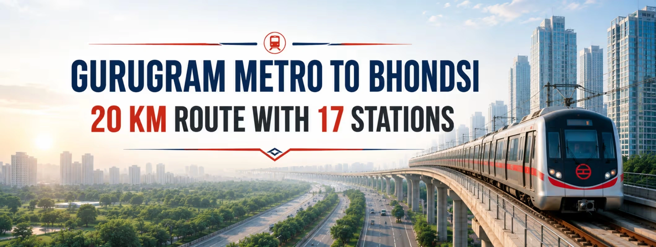
- The proposed Gurugram Metro to Bhondsi corridor may cover approximately 20 km between Bhondsi and Gurugram Railway Station.
- The latest tentative plan includes 17 stations, but the final station names and locations have not yet been approved.
- Authorities are examining alternatives to the original Sohna Road metro alignment because parts of the direct highway route may generate lower projected ridership.
- The revised route could pass through heavily populated areas such as Badshahpur, Sector 67, Sector 65, South City II, Sector 47, Medanta Hospital, Sadar Bazar and Bhim Nagar.
- An interchange with the Old Gurugram Metro near Sector 5 could connect the corridor with Gurugram Railway Station and the wider city network.
- The line remains at the planning and DPR stage. There is currently no confirmed construction date or Bhondsi metro station opening date.
- Property buyers should not pay a large “metro premium” based only on a tentative route or an agent’s verbal promise.
What Is the Latest Update on the Gurugram Metro to Bhondsi Corridor?
The proposed Gurugram Bhondsi Metro Corridor has entered an important planning stage, with a revised alignment now being considered between Bhondsi village and Gurugram Railway Station.
The latest proposal prepared by RITES covers approximately 20 km and includes 17 planned stations. Unlike the earlier concept, which primarily followed the Gurugram–Sohna Highway, the new option may move away from the main carriageway to serve more densely populated residential, commercial, institutional and traditional city areas.
This change does not mean that Sohna Road has been completely removed from the project. Bhondsi and Badshahpur remain closely connected to the wider Gurugram–Sohna corridor. However, the metro may not remain directly above or beside the highway for most of its journey. The development is also being closely watched by land buyers in Gurugram who track infrastructure projects for their potential impact on accessibility and future growth.
The Bhondsi metro latest update is therefore about route optimisation rather than construction commencement. Planners are studying where people actually live, work, shop, seek medical care and access existing transport. A corridor that passes through populated neighbourhoods can potentially attract more daily commuters than a straight highway alignment with fewer walk-in passengers.
The final decision will depend on technical feasibility, estimated ridership, construction cost, road width, land availability, traffic disruption and interchange opportunities.
Quick Summary of the Proposed Metro Corridor
| Project detail | Current reported position |
| Proposed corridor | Bhondsi to Gurugram Railway Station |
| Approximate length | Around 20 km under the revised option |
| Planned stations | 17 tentative stations |
| Planning consultant | RITES |
| Main agencies involved | HMRTC, GMRL and GMDA |
| Earlier route concept | Roughly 17 km, largely along Sohna Road |
| Revised route approach | Through densely populated sectors and central Gurugram areas |
| Possible interchange | Old Gurugram Metro near Sector 5 |
| Construction format | Underground construction has been suggested for busy sections, but not approved |
| Current stage | Route evaluation and DPR preparation |
| Construction start | Not announced |
| Opening date | Not announced |
| Final route map | Not yet approved |
Why May the Metro Skip the Main Sohna Road Alignment?
The original Gurugram to Bhondsi metro route was expected to follow Sohna Road through important traffic points such as Vatika Chowk, Subhash Chowk and Rajiv Chowk before moving towards central Gurugram and the railway station.
On paper, a metro line along a major highway appears logical. Sohna Road already carries substantial residential, commercial and office traffic. It connects emerging South Gurugram areas with NH-48 and the older parts of the city.
However, metro planning depends on more than road traffic.
A busy road does not automatically guarantee strong metro ridership. Planners must examine how many people can reach each station on foot, by feeder service, by cycle, by auto-rickshaw or through short last-mile connections. A station surrounded by wide highways, flyovers, vacant parcels or inaccessible service roads may attract fewer passengers than a station located within a dense neighbourhood.
The revised metro route realignment appears to focus on areas where a large number of residents, hospital visitors, market users, government employees and railway passengers could access the metro directly.
Authorities are also expected to consider:
- Projected daily passenger numbers
- Availability of land for station structures
- Width of existing roads and carriageways
- Utility shifting requirements
- Traffic management during construction
- Elevated versus underground construction costs
- Integration with the Old Gurugram Metro
- Access to Gurugram Railway Station
- Potential interchange with other future transport systems
Therefore, the question is not simply, “Will Bhondsi metro skip Sohna Road?” The more accurate question is whether planners will choose a direct highway route or a longer urban route that could serve more passengers.
Earlier Route Versus the Latest Tentative Alignment
| Comparison point | Earlier concept | Latest tentative option |
| Approximate distance | About 17 km | About 20 km |
| Primary alignment | Largely along Sohna Road | May move through populated urban sectors |
| Main route character | Highway-oriented | Neighbourhood and activity-centre oriented |
| Previously discussed points | Vatika Chowk, Subhash Chowk, Rajiv Chowk, Sadar Bazar and bus stand | Badshahpur, Sectors 67 and 65, Golf Course Extension Road, South City II, Sector 47, Medanta, Sadar Bazar and Bhim Nagar |
| Expected passenger base | Highway commuters and nearby developments | Residents, office workers, shoppers, hospital users and railway passengers |
| Construction option | Not finalised | Underground sections have been suggested |
| Final status | Superseded or under comparison | Still tentative |
This comparison also explains why reports refer to both a 17-km and a 20-km Gurugram metro corridor. The shorter figure generally relates to the earlier Sohna Road-focused concept, while the longer figure relates to a revised route that may enter additional populated areas.
Proposed Bhondsi Metro Route and Areas Covered
The currently reported alignment begins near Bhondsi village on the Gurugram–Sohna Highway and moves towards Gurugram Railway Station through southern, central and older parts of the city.
The areas mentioned in the tentative route include:
- Bhondsi village
- Mohan Nagar
- Power Colony
- Badshahpur
- Sector 67
- M3M Urbana Chowk
- Sector 65
- Golf Course Extension Road
- Fresco Square
- South City II
- Sector 47
- Bakhtawar Chowk
- Medanta Hospital
- Mini Secretariat
- Sadar Bazar
- Sector 8 near Prem Mandir
- Bhim Nagar
- Sector 5 interchange area
- Gurugram Railway Station
These are better understood as reported route areas rather than a confirmed Gurugram Bhondsi metro station list. Every locality mentioned in the proposed alignment may not receive a separately named station. Some stations may serve two neighbouring areas, and names can change during DPR preparation or detailed design.
For example, searches for a Sector 67 metro station, South City 2 metro station, Sector 47 metro station or Medanta Hospital metro station reflect strong local interest. They do not confirm that these will be the final official names.
Until an approved route map and DPR are released, buyers and residents should treat all station markers circulating on social media, property advertisements and unofficial maps as indicative.
How the Route Could Improve Metro Connectivity in Gurugram
The real importance of the Gurugram metro new corridor lies in network integration.
Gurugram does not only need individual metro lines. It needs a connected system that allows commuters to move between residential areas, employment hubs, markets, hospitals, the railway station, interstate transport and regional rail services without repeatedly depending on private vehicles.
Connecting South Gurugram with the Old City
Bhondsi, Badshahpur and the Golf Course Extension belt have experienced significant residential and commercial growth. Yet many commuters still depend on Sohna Road, Golf Course Extension Road, Southern Peripheral Road and connecting sector roads.
A Bhondsi metro connection could give these locations a direct public transport route towards central and Old Gurugram.
Better Access to Gurugram Railway Station
The proposed Gurugram Railway Station to Bhondsi metro link could make rail travel more accessible for residents of South Gurugram.
At present, reaching the railway station from southern sectors can involve changing roads, navigating congested junctions and relying on cabs or auto-rickshaws. A properly integrated metro station could reduce this last-mile problem.
Possible Sector 5 Integration
The proposed Sector 5 metro interchange is one of the most important elements of the route. It could connect the Bhondsi line with the wider Old Gurugram Metro network and create a path towards the railway station.
The value of an interchange goes beyond one station. It determines how easily passengers can transfer to other parts of the city without leaving the transport system.
Access to Hospitals and Public Institutions
There would be many people who would benefit from a station that services the Medanta and Mini Secretariat region including doctors, patients, attendants, government officials, lawyers, and the general public.
Medanta Hospital metro station area is expected to be well planned considering the heavy traffic that the nearby roads receive. Access to the station, ambulances, and pedestrians would also be critical.
Connectivity for Traditional Markets
Sadar Bazar, Bhim Nagar and surrounding areas such as Old Gurugram have a dense population and heavy traffic activity. A metro connectivity from Sadar Bazar to Gurugram would ensure that people who are less inclined to travel a distance for commuting can reach public transportation easily.
One such factor is that the area demands a different route than the existing carriageway on Sohna Road.
Why an Underground Alignment Is Being Considered
Some officials have suggested that the corridor should run underground through the busiest areas.
An elevated metro usually costs less than an underground metro, but it requires suitable road width, space for pillars, station structures and construction equipment. It can also affect traffic movement during the building period.
The revised route may pass through narrow, congested or heavily developed roads. Building an elevated structure in these areas could involve substantial utility relocation, traffic diversions and property-related complications.
An underground line may reduce long-term visual and surface-level disruption, but it brings other challenges:
- Higher construction cost
- More complex geological investigation
- Longer design and execution period
- Deep station boxes and ventilation requirements
- Greater fire and life-safety planning
- Difficult construction near existing buildings
- More complicated utility and groundwater management
The decision cannot be based only on public preference. Engineers must compare cost, safety, soil conditions, traffic impact, construction risk and expected ridership.
The final DPR should clarify whether the entire 17-station metro corridor would be underground, elevated or built through a combination of both systems.
Is the Bhondsi Metro Route Final?
No. The proposed route is not final.
The current RITES metro proposal is one of the route options being evaluated. Authorities are expected to study additional variations before selecting the final Gurugram metro alignment.
Several stages may still be required:
- Completion of technical and ridership studies
- Comparison of route alternatives
- Preparation and approval of the DPR
- Financial and economic assessment
- State-level approval
- Central approvals where applicable
- Funding structure finalisation
- Land and utility assessment
- Tendering and contractor appointment
- Construction and safety clearances
This distinction matters because many property advertisements use expressions such as “metro approved,” “metro-facing plot” or “upcoming station nearby” long before a station location becomes official.
A proposal, DPR, government approval, tender and under-construction project are not the same thing.
How Could the Corridor Affect Real Estate?
The property impact of Bhondsi metro corridor will vary by location. Metro infrastructure can improve accessibility, but it does not produce equal benefits for every plot, apartment, shop or village parcel.
Real estate performance will depend on the final route, exact station entrances, pedestrian access, existing development quality, road connectivity, neighbourhood services and legal status of the property.
1. Bhondsi and Nearby Land Markets
Bhondsi may gain from a direct public transport connection to central Gurugram and the railway station. This could improve its perception as a connected southern settlement rather than merely a location beyond the established urban sectors.
Search interest in land for sale in Bhondsi, plots for sale near Bhondsi metro and investment property near Bhondsi metro may increase as the project gains visibility.
However, land buyers face greater legal and planning complexity than apartment buyers. Two neighbouring parcels can have completely different ownership records, road access, land-use restrictions and development potential.
A metro proposal does not convert agricultural land into residential or commercial land. It also does not guarantee construction permission.
2. Badshahpur and Sector 67
The Badshahpur–Sector 67 belt already functions as an important link between Sohna Road, Golf Course Extension Road and newer residential sectors.
A possible Badshahpur metro connection could help residents and workers move without relying entirely on road transport. Local commercial activity may also benefit if the station has safe pedestrian access and organised last-mile services.
The exact placement will matter. A station positioned across a wide road without safe crossings may deliver less local benefit than a station integrated with neighbourhood streets.
3. Sector 65 and Golf Course Extension Road
The Golf Course Extension Road belt contains premium residential projects, offices, retail destinations and new commercial development. A Golf Course Extension Road metro link could improve access for employees, domestic workers, service staff, tenants and residents.
This is a mature real estate market, so the metro may affect convenience and rental liquidity more than it creates an entirely new location.
Buyers should compare the proposed Bhondsi corridor with other planned metro links in Gurugram. Multiple projects have been discussed for the Golf Course Extension area, but proposed lines should not be treated as operational connectivity.
4. South City II, Sector 47 and Bakhtawar Chowk
These are established residential neighbourhoods with strong road access but substantial peak-hour congestion.
Metro connectivity could improve commuting options for residents travelling towards Old Gurugram, the railway station and future interchange points. It could also support tenants who prefer homes within practical walking or feeder distance of public transport.
The likely benefit will depend on station entry points. A property may appear close to a station on a map but require a long or unsafe walking route because of boundary walls, drains, highways or restricted crossings.
5. Medanta and Mini Secretariat
The Medanta–Mini Secretariat belt attracts thousands of daily visitors for healthcare, government work, legal services and employment.
A station in this zone could generate strong all-day demand rather than only morning and evening office traffic. That can support retail, rental accommodation, food outlets and other services.
At the same time, construction could temporarily worsen congestion. Investors should consider both long-term accessibility and short-term execution disruption.
6. Sadar Bazar, Sector 8 and Bhim Nagar
The revised route could provide a major public transport benefit to densely populated Old Gurugram areas.
Traditional markets often generate high pedestrian activity but have limited parking and narrow approach roads. A well-planned metro can reduce dependence on private vehicles. A badly planned station can simply shift congestion from one junction to another.
For shops and commercial properties, the most valuable locations may not be directly beside the station gate. Properties on accessible pedestrian routes can sometimes benefit more than buildings affected by entry restrictions, traffic diversions or acquisition.
7. Gurugram Railway Station Area
The proposed Gurugram Railway Station metro connection could improve the railway station’s role as a citywide transport hub.
Better metro access may increase demand for hotels, rental rooms, retail, food services and small commercial properties. However, investors should wait for clarity on station integration, entry gates, parking, road widening and pedestrian circulation.
Will Property Prices Automatically Rise?
No. Metro announcements often increase enquiries before they improve actual connectivity. Sellers may begin quoting higher prices based on proposed infrastructure, even when the route is not final.
A genuine and sustainable price impact usually becomes clearer after several milestones:
- Final alignment approval
- Official station locations
- Funding approval
- Construction tender award
- Visible work at the site
- Confirmation of interchange design
- Improved approach roads
- Operational start
Buying at the announcement stage carries more uncertainty but may offer early-entry potential. Buying after construction begins reduces some route risk but may involve a higher price.
Neither option guarantees returns.
Investors should compare the metro-related premium with the property’s existing fundamentals: legal title, surrounding occupancy, access road, water supply, drainage, neighbourhood demand, permitted use and realistic resale market.
Practical Buyer Checklist for Property Near the Proposed Metro
Before purchasing land near upcoming metro station, complete the following checks:
Confirm the Infrastructure Stage
Ask whether the project is merely proposed, under DPR preparation, approved, tendered or under construction. Request the official document rather than accepting a brochure screenshot.
Verify the Exact Location
Measure distance from the expected station entrance, not from a broad metro line drawn on a map. A one-kilometre straight-line distance can become a much longer walking route.
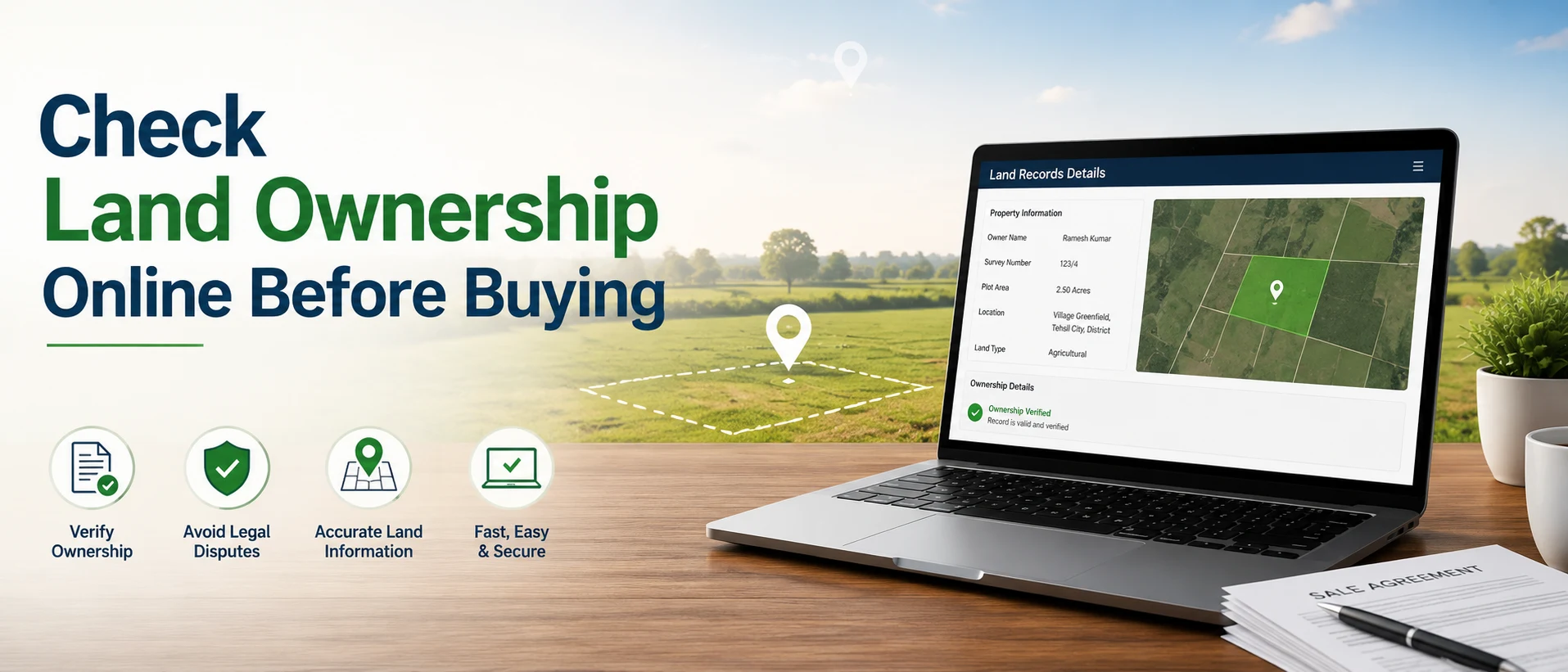
Check Haryana Land Records
Verify the owner’s name, khasra number, khewat details, mutation history and other available revenue records. Match the records with the seller’s identity and site boundaries.
Review Title and Encumbrances
Engage an independent property lawyer to examine the complete ownership chain, registered deeds, mortgages, disputes, acquisition notices and encumbrances.
Check Permitted Land Use
Confirm whether the land falls under residential, commercial, agricultural, institutional, transport, green or another designated use. Do not assume that metro proximity permits construction.
Verify Project Registration
For applicable housing or plotted projects, check registration and current project information on the Haryana RERA portal.
Inspect Physical Access
A legally owned parcel without a clear and usable approach road can be difficult to develop, finance or resell.
Investigate Acquisition Risk
Properties near the final alignment may face road widening, station entry, utility relocation or land acquisition. Being too close to a station is not always an advantage.
Visit at Different Times
Inspect the location during weekday peak traffic, evening hours and after rain. This reveals congestion, drainage, access and neighbourhood activity.
Avoid Paying for Unconfirmed Claims
Do not pay a premium merely because a seller claims that a station will come “exactly opposite” the property. Wait for official alignment and entry-gate details.
How 2Bigha Can Help Buyers Explore the Corridor
Infrastructure-led land decisions require more than a headline or a broker’s promise. Buyers need to compare location, road access, surroundings, ownership information and long-term usability before shortlisting a property.
2Bigha provides a map-led way to explore land opportunities and assess how different listings relate to roads, settlements and emerging infrastructure. Buyers looking around Bhondsi, Sohna and the wider Gurugram belt can use the platform to compare options instead of evaluating isolated property advertisements.
Property owners can also use its subscription plan and property management service to improve listing visibility and manage land-related requirements more systematically.
The platform can support property discovery, but every buyer should still complete independent legal, revenue and planning verification before paying a token amount or signing an agreement.
What Should Existing Property Owners Do?
Owners near the possible alignment should avoid making rushed decisions.
First, monitor official route announcements. The difference between a line passing through a locality and a station being built nearby is significant.
Second, organise property records. Clear title documents, mutation records, boundary information and access details can make a property easier to evaluate when buyer interest increases.
Third, avoid unrealistic pricing. Asking prices that jump immediately after a metro headline can discourage serious buyers, especially while the route remains tentative.
Fourth, assess the property’s likely use. A residential plot, agricultural parcel, shop, apartment and warehouse will respond differently to improved public transport.
Finally, owners planning to sell land in Bhondsi should present accurate location information. Advertising a property as “metro adjacent” without official evidence may attract enquiries, but it can damage credibility during due diligence.
What Should Investors Watch Next?
The next meaningful Gurugram metro route update should answer some of the following questions:
- Which route option will HMRTC, GMRL and GMDA select?
- Will the line follow Sohna Road for any significant stretch?
- Which reported locations will receive actual stations?
- Will the corridor be elevated, underground or mixed?
- Where will the Sector 5 interchange be located?
- How will passengers connect to Gurugram Railway Station?
- Will the revised alignment retain access to Subhash Chowk or Rajiv Chowk?
- What will be the estimated project cost?
- Which authority will implement and operate the corridor?
- When will the final DPR receive approval?
- When will land, utility and geotechnical studies begin?
- What construction timeline will be proposed?
A press report about an alignment option is useful, but the approved DPR will provide a more reliable basis for property and investment decisions.
Gurugram’s Wider Metro Expansion
The Bhondsi proposal forms part of a broader effort to improve metro connectivity in Gurugram.
GMRL’s separately sanctioned Millennium City Centre–Cyber City project is planned to connect newer business districts with residential, industrial and Old Gurugram areas. It includes a spur towards Dwarka Expressway and proposed links with the railway station, Rapid Metro, Delhi Metro and future regional transport networks.
The HMRTC metro project planning process also includes other possible corridors across the city.
This wider Gurugram Metro Expansion matters because the Bhondsi line will deliver greater value if it works as part of an integrated network. A standalone line can improve local movement, but seamless interchanges can connect South Gurugram with Cyber City, Udyog Vihar, Old Gurugram, the railway station and other NCR transport systems.
Final Assessment
The proposed new metro route in Gurugram could significantly improve public transport access between Bhondsi, South Gurugram, central neighbourhoods, Old Gurugram and the railway station.
The decision to reconsider the main Sohna Road route is not necessarily a setback. A revised line through populated sectors may attract more passengers and provide stronger everyday connectivity. However, a longer and potentially underground alignment may also increase cost and construction complexity.
For residents, the corridor represents the possibility of better mobility.
For property owners, it may improve market visibility, long-term accessibility, and interest in online land listings as connectivity improves across the region.
For investors, it presents an opportunity that still carries alignment, approval and execution risk.
The sensible approach is to track official approvals, verify exact station locations and evaluate properties on legal and practical fundamentals. The Sohna Road Metro discussion is moving forward, but the current proposal should not yet be treated as a final, construction-ready route. As infrastructure plans evolve, online land listing platforms can help buyers and investors monitor opportunities across emerging growth corridors.
Disclaimer: This article is for informational purposes only and should not be considered investment, legal, financial, or property advice. Real estate regulations, infrastructure plans, market conditions, and government policies may change over time. Readers are advised to verify information with relevant authorities and consult qualified professionals before making any investment or property-related decisions.