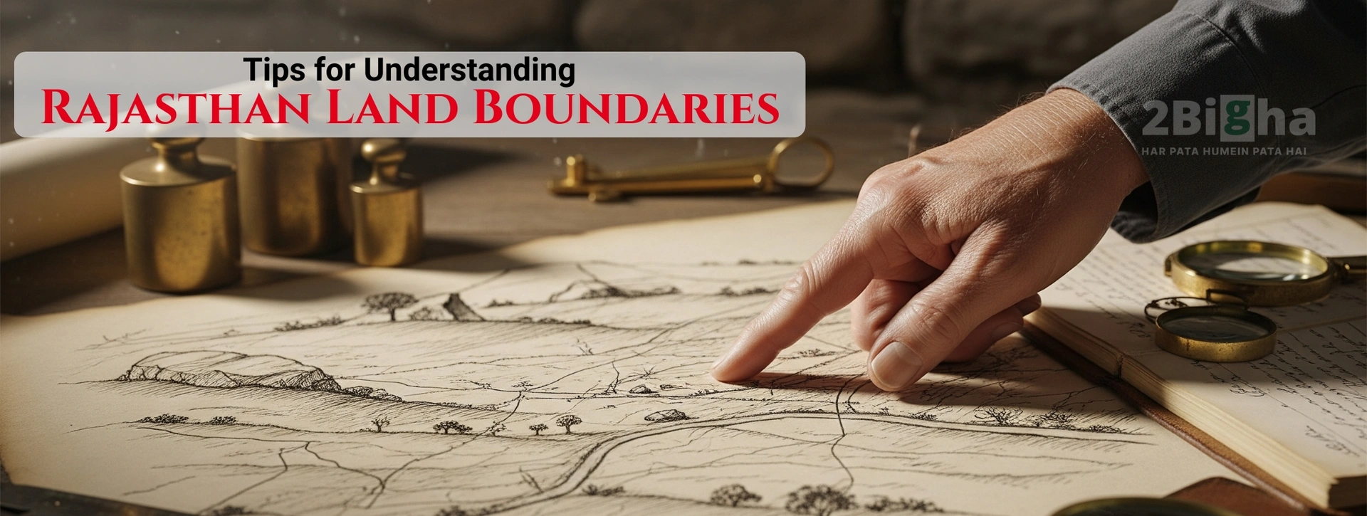
Understanding land boundaries in Rajasthan is crucial for anyone looking to buy land in Rajasthan. Since land disputes in rural and urban Rajasthan often arise due to unclear demarcation, knowing how boundaries are recorded, measured, and legally verified can protect you from major financial and legal trouble.
This guide simplifies the process and helps you confidently navigate Rajasthan’s land record system.
1. Know the Basic Land Measurement Units
Rajasthan uses several traditional units such as Bigha, Biswa, Bigha-Pukka, Bigha-Kaccha, and standard units like Square Feet, Square Meter, Hectare.
Different districts follow different unit standards, so double-check local measurement conversions before purchasing.
2. Check the Official Jamabandi (Record of Rights)
Jamabandi is one of the most important documents for identifying ownership and land boundaries.
It shows:
- Owner’s details
- Khasra numbers
- Type of land
- Total area
Always verify that Jamabandi is updated for the latest agricultural year.
3. Verify Khasra and Khatoni Details
Each land parcel in Rajasthan is designated by a Khasra number.
This helps you understand:
- Exact location
- Shape and dimensions
- Adjacent land parcels
Cross-check the Khasra from both Patwari records and Rajasthan Apna Khata portal.
4. Use the Apna Khata (E-Dharti) Portal
Rajasthan's Apna Khata portal is a user-friendly platform that shows digital land maps and ownership details.
Before buying land, use it to:
- Check boundary lines
- View Bhunaksha (land map)
- Download land record copies
This prevents fraud and mismatch issues.
5. Inspect the Bhunaksha (Cadastral Map)
Bhunaksha provides a visual representation of your land parcel.
It helps you understand:
- Exact boundary shape
- Nearby plots
- Road and access points
- Any overlaps or encroachments
Always ensure your plot in Bhunaksha matches the physical boundary on ground.
6. Conduct a Physical Land Demarcation
Even with digital records, on-ground measurement is essential.
Get the land measured by:
- Patwari
- Surveyor
- Revenue Inspector
A demarcation report confirms the land’s exact starting and ending points.
7. Check for Encroachments
Encroachment is common in Rajasthan’s rural and semi-urban areas.
Before buying:
- Walk the boundary
- Identify walls, fencing, or built structures
- Verify if neighbors have extended into the land
A demarcation map helps spot boundary violations early.
8. Verify Access Roads and Right-of-Way
Many Rajasthan land parcels share common entry points.
Verify:
- Whether the road is government or private
- Whether right-of-way is legally recorded
- If you will get permanent access during and after construction
Lack of legal access can cause disputes later.
9. Confirm Land Classification (Agricultural / Residential)
Land type affects boundary laws, permissible construction, and conversion requirements.
Check whether the land is:
- Agricultural
- Residential
- Commercial
- Industrial
Different land types have different boundary rules and restrictions under local development authorities.
10. Consult a Legal Expert Before Final Purchase
Boundary disputes often arise from small mistakes.
Consulting a property lawyer helps you verify:
- All boundary-related documents
- Past dispute history
- Accurate measurement reports
- Legally compliant sale deed
A lawyer ensures your deal is safe and protects you from future legal challenges.
Conclusion
Understanding Rajasthan land boundaries is not just a technical process, it's a legal safeguard. Whether you’re investing in agricultural land, or commercial property, checking boundary details through Jamabandi, Khasra, Bhunaksha, physical inspection, and legal verification ensures your investment is secure and dispute-free. Clear boundaries lead to clear ownership, hassle-free transactions, and long-term peace of mind.
FAQs for Rajasthan Land Boundaries
1. How do I confirm the boundaries of land in Rajasthan prior to purchasing property?
To confirm the boundaries of land in Rajasthan begin by looking up the digital maps of land on the Apna Khata (E-Dharti) portal. Get copies of the Khasra, Khatauni, and Bhunaksha copies to comprehend the plot's outline digitally. Visit the plot physically and have the area measured by a Patwari or a surveyor from the government. If the digital records and ground demarcation are in agreement with the boundaries, they are believed to be accurate and reliable.
2. What documents are required to verify the land's boundaries in Rajasthan?
The primary documents include Jamabandi (Record of Rights), Khasra number details, Khatauni, Bhunaksha (cadastral map) and the most recent demarcation report published by Revenue officials. These documents provide ownership, dimensions, area, and precise boundaries of the parcel of land. Examining them all reduces the chance of disputes and provides legal certainty.
3. Is Bhunaksha an accurate method for determining precise boundary lines of the land?
Bhunaksha offers an illustration where your parcel is displayed on a map. It can be very helpful in understanding the shape, size, and other parcels. But, it shouldn't be relied on by itself. Since maps might not be updated with any minor boundary shift It is crucial to match Bhunaksha with physical measurements of the site and up-to-date Jamabandi/Khasra entries in order to achieve 100% accuracy.
4. What is the reason boundary disputes occur in Rajasthan?
Boundary disputes are often because of outdated documents, inconsistencies with traditional land measurements, the absence of physical demarcation stones, as well as the encroachment of landowners from nearby properties. In certain rural areas, land was assessed using old-fashioned units such as Bigha and Biswa which differ between districts. In the absence of modern surveys and up-to-date land records, confusions could occur easily.
5. How important is land delineation prior to buying property?
Demarcation of land is crucial since it offers a clear and verified by the government of where your land begins and where it ends. Demarcation documents confirm that the boundary lines are in the earth, and checks for encroachments and makes sure the land you purchase is in line with the land area stated on official papers. Without it, you could be purchasing a smaller amount or a portion disputable.
6. Do I have the ability to use my Apna Khata portal for identifying the boundaries of my land?
Yes, the Apna Khata portal is a useful tool. It displays online maps and ownership information as well as Khasra information for virtually every town and village in Rajasthan. While it provides an accurate idea of boundaries, its accuracy of the map is based on the latest update by the local government. So, it is recommended to use it in conjunction with physical verification to get exact results.
7. How do I proceed if I encounter encroachments on my land in Rajasthan?
If you find an encroachment to your property then you must first obtain an official delimitation completed by the revenue department in order to record the problem. After you have the formal report, you are able to submit a formal complaint to one of the officials, either Patwari or the Tehsildar. If you have a dispute that is serious the assistance of a property lawyer can help you to send an official notice, negotiate a settlement or even take the matter to the court that is appropriate.
8. What are the effects of measuring units for land like Bigha and Biswa impact boundary marking?
Rajasthan uses various measurement units in different districts. The dimensions of a Bigha may vary greatly. This can cause confusion when it comes to converting land into standard units such as Gaj in Square Feet. Knowing the local measurement systems or seeking help from a licensed surveyor can ensure that boundary lines are aligned with the exact area you want to purchase.
9. Can land that is used for agriculture and commercial use have boundaries that differ from those of agricultural land?
Yes. Land that is used for agriculture follows the rules of revenue boundary that are based on maps of villages, and commercial or residential land could be subject to the guidelines of the development authority, such as setback rules, roads, setbacks, and colony maps that have been approved. The conversion of agricultural land to commercial or residential use could change boundary boundaries as well, so make sure to check the land classification first.
10. How can a lawyer assist in confirming Rajasthan boundary lines?
A property lawyer examines every boundary-related document and checks for any inconsistencies between Jamabandi and Khasra, and identifies any past conflicts or ongoing issues. They also make sure that the sale document contains accurate measurements. They also assist you through the demarcation process and assist in settling disputes on a legal basis. Their experience ensures that the deal is secure and in compliance with the laws of Rajasthan's land.