List Your Land
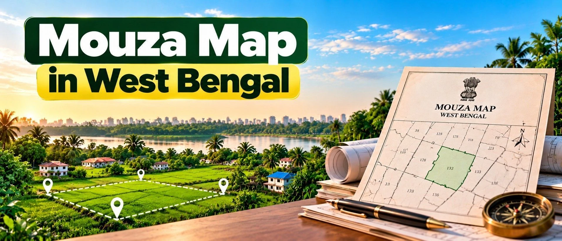
A Mouza map in West Bengal is the official cadastral map showing every Dag (plot) within a specific Mouza (revenue village), fixing each parcel's legal boundary, shape, and size.
It matters because it protects a buyer from boundary disputes and confirms that the plot physically shown by a seller is actually the same parcel recorded in government files.
This guide covers what a Mouza map contains, how it differs from a Khatian, and how to request one online through Banglarbhumi.
Whether you're verifying boundaries before a purchase, resolving a family land division, or preparing documents for mutation, this is the map everything else gets checked against.
Section 1 — What is a Mouza Map in West Bengal?
It also helps to see how a plot's location compares to surrounding real estate listing websites if you're exploring agricultural land in west bengal in a new area.
Definition: A Mouza map is a cadastral map that records the exact boundary, shape, and size of every Dag (plot) inside one revenue village (Mouza), prepared and maintained by the Survey Department under the West Bengal Land Reforms Act, 1955.
A Mouza map is different from a Khatian: the Khatian is a text-based record showing ownership, classification, and mutation history, while the Mouza map is the visual, spatial layer showing exactly where each Dag's boundaries physically fall — the two are meant to be checked together, since neither is a substitute for the other.
There are two types in active use: the LR (Land Reforms) Map, the current standard used after 1955, and the RS (Revisional Settlement) Map, the older reference from around 1962 — both are stored on Banglarbhumi by Sheet Number, and it's worth checking both are available for your specific Mouza before assuming coverage is complete.
A buyer specifically needs this because it's the clearest way to confirm that the physical plot a seller shows you on-site is genuinely the same Dag recorded in government records — a seller's hand-drawn sketch carries no legal weight on its own.
State-specific note: Some older Khatian or Mouza records still show spelling inconsistencies in names from manual digitisation of old RS or CS records — this doesn't necessarily invalidate the record, but it's worth flagging and requesting a correction rather than assuming it's a sign of a deeper problem.
Expert Tip: If a seller's described plot shape or boundary noticeably differs from what the Banglarbhumi LR map shows for that Dag number, don't assume it's a minor discrepancy — this pattern very often means the seller is actually showing you a neighbouring plot rather than the one legally on record, so always trust the Sheet Number and Dag on the official map over an on-site verbal description.
Section 2 — How to Get a Mouza Map in West Bengal?
This is one of Banglarbhumi's more straightforward services, though a certified legal copy still requires an in-person step.
Method | Cost | Time | Legally valid for registration? |
|---|---|---|---|
Online (informational map preview/download) | Approximately Rs 150 | Instant, for digitised Mouzas | No — for information only |
Online (Mouza Map Availability Details check) | Free | Instant | No — availability check only |
Offline (BL&LRO office, certified copy) | Nominal fee | A few days | Yes |
1. Log in to Banglarbhumi — Visit banglarbhumi.gov.in and sign in with your registered account.
2. Check map availability first — Under Citizen Services, select Mouza Map Availability Details, choose your District and Block, and confirm both LR and RS maps exist for your Mouza.
3. Request the Mouza map — Go to Mouza Map-Request, select District, Block, Mouza, and the Sheet Number, then choose LR or RS map type.
4. Locate your Dag number — Enter your specific Dag/plot number to highlight it within the Mouza sheet.
5. Pay and download — Complete the fee payment (around Rs 150) via net banking, card, or SBI ePay, then download or print the map.
1. Visit the BL&LRO office — Carry your Mouza, Sheet, and Dag details.
2. Request a certified copy — Ask specifically for a certified LR or RS map with official seal and signature.
3. Verification — The office may cross-check the request against physical survey records.
4. Collect the certified map — Collect the signed and sealed copy once processed.
Typical turnaround: A certified copy typically takes a few days once requested at the BL&LRO office.
Before you leave the office, check: that the Dag number, boundary shape, and Sheet Number on the map are consistent with what you observe on-site and with your Khatian before relying on it for a purchase decision.
Section 3 — What Does a Mouza Map Show?
A Mouza map is fairly intuitive to read, but a buyer comparing several real estate listing websites for farm land for sale in west bengal doesn't need to be a surveyor to check the essentials. You can also browse verified land listings and mapping tools at the 2Bigha homepage: https://2bigha.ai/.
Field | What it means | What to check |
|---|---|---|
Dag (plot) number | Unique identifier for each individual plot | Matches your Khatian and other documents exactly |
Plot boundary and shape | Visual outline of the parcel | Reasonably consistent with what you observe on-site |
Adjacent Dag numbers | Neighbouring plots' identifiers | Helps confirm you're looking at the correct plot |
Mouza boundary and water bodies | Broader context of the revenue village | Consistent with the general location description |
Sheet Number and map type (LR/RS) | Confirms which survey version you're viewing | Matches the version relevant to your current Khatian |
Good sign: A reliable Mouza map shows a clear boundary shape for your specific Dag, a matching Sheet Number, and consistency between the LR and RS versions where both are available and relevant.
Section 4 — Common Issues & How to Fix Them?
Most Mouza map issues in West Bengal come down to incomplete digitisation for certain sheets or a mismatch between the seller's claim and the official record. Before assuming a technical error, it's worth checking current coverage on the Mouza Map West Bengal official website .
Mouza map not available online — Some sheets are still being digitised across West Bengal's many Mouzas. Fix: Check Mouza Map Availability Details first; if unavailable, request a certified manual copy at the BL&LRO office.
Plot shape differs from the seller's sketch — A seller's hand-drawn description carries no legal weight. Fix: Trust only the Banglarbhumi LR map for the Sheet Number — a mismatch usually means you're being shown a neighbouring plot, not the one on record.
Confusion between LR and RS map versions — RS maps are the older, pre-1955 reference, while LR maps are the current standard. Fix: Confirm which version matches your current Khatian before relying on either for verification.
Old or inconsistent name spellings on associated records — Manual digitisation of older RS or CS records introduced some spelling errors. Fix: This is common and doesn't necessarily invalidate the record, but file for correction with the BL&LRO if it affects a transaction.
Payment completed but map not generated — Occasional technical delays can occur on the portal. Fix: Use the GRN Search or Application Receipt/Reprint option to retrieve your request using the reference number.
Informational copy used for a legal transaction — The standard downloadable map isn't valid for mutation or court submission. Fix: Apply separately for a certified copy at the BL&LRO office when the map is needed for a legal purpose.
Section 5 — Recent Changes in 2026
Banglarbhumi has continued rolling out app-based and improved online access to Mouza maps through 2025 and 2026, allowing users to request maps using plot-specific details more conveniently, which has improved processing speed and reduced the risk of fraudulent land dealings. No major fee change to the standard Mouza map request has been confirmed as of August 2026.
Section 6 — Why Mouza Map Matters for Land Buyers?
It confirms the plot physically shown to you matches the government's official boundary record.
It protects against boundary disputes with neighbouring landowners.
It helps verify area and shape claims before agreeing on a price.
It supports mutation and conversion applications that require accurate plot reference.
It's an affordable, largely instant check that adds meaningful due diligence to any transaction.
It's essential for resolving family land division, since it shows exactly how a Mouza's Dags are laid out.
Section 7 — Mouza Map vs. Khatian
These are often confused because both come from West Bengal's Banglarbhumi land records ecosystem. The Mouza map shows the physical boundaries and shape of every Dag within a revenue village. The Khatian shows who owns each Dag, its classification, and mutation history — one is spatial, the other is administrative, and a thorough check uses both together.
If you're preparing to sell agricultural land in west bengal, having both a current Mouza map printout and a matching Khatian ready in advance makes the process considerably smoother for a serious buyer. You can also explore listing land through https://2bigha.ai/sell.
Aspect | Mouza Map | Khatian |
|---|---|---|
What it shows | Physical boundaries and shape of every Dag | Ownership, classification, and mutation history |
Maintained by | Survey Department, Director of Land Records and Survey | Land & Land Reforms Department, via the BL&LRO |
Best used for | Boundary verification before purchase | Ownership and title verification |
Section 8 — Related Documents
Mutation in West Bengal
Land Conversion West Bengal
Legal Heir Certificate West Bengal
Encumbrance Certificate guides by state