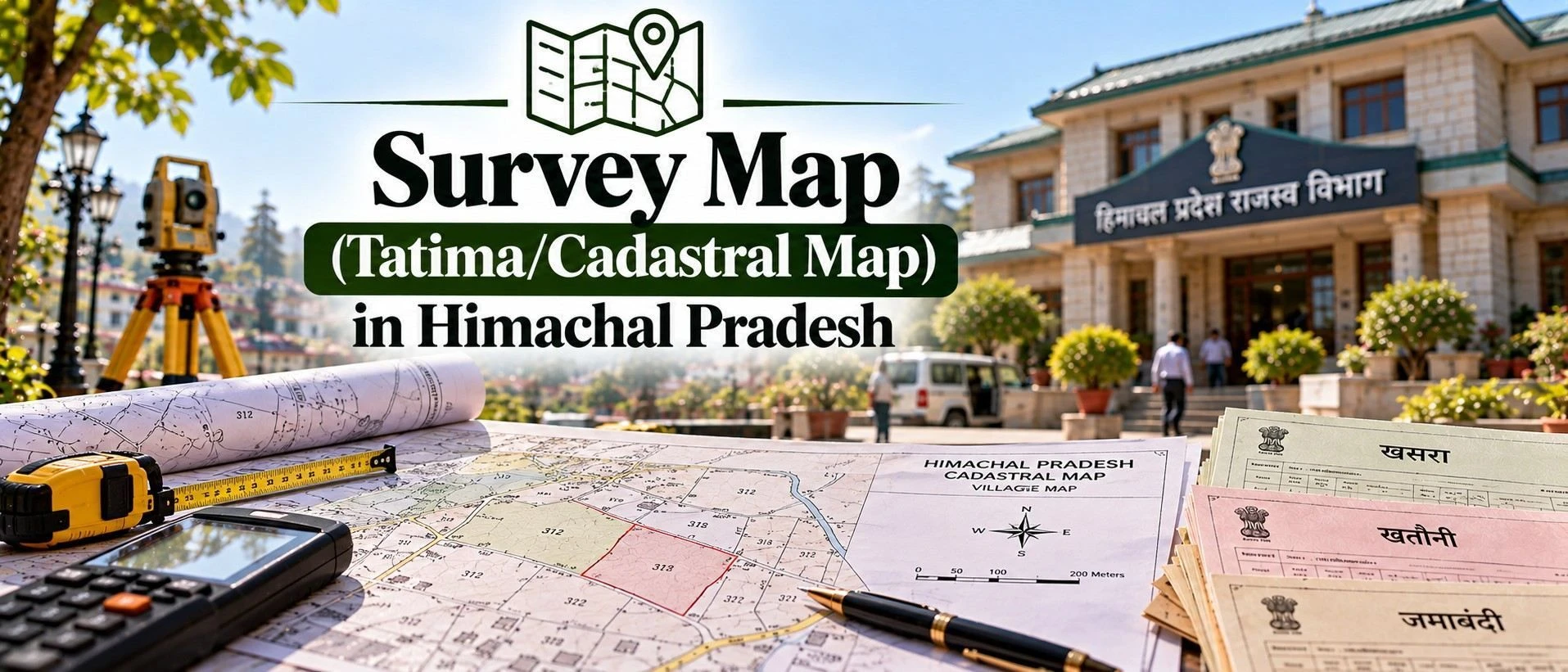
A survey map, known locally as the Tatima or Musavi, is the cadastral map showing a land parcel's exact shape, boundaries, area, and khasra number as recorded by the Revenue Department. It matters because it's the visual confirmation of what the Jamabandi describes in words — mismatched boundaries are one of the most common sources of neighbour disputes after a purchase. This guide covers the Himachal Pradesh Cadastral Map system, how to access the Himachal Pradesh Revenue Map online through Bhunaksha, and what to check before relying on it.
If you are researching property in himachal, checking the survey map can help you understand the parcel's recorded boundaries before making a purchase, selling decision, or construction plan Whether you're confirming a plot's shape before purchase, applying for building plan approval, or resolving a boundary dispute, this is the map you'll be asked to produce.
Section 1 — What is a Survey Map in Himachal Pradesh?
Before you buy land in Himachal Pradesh, it helps to first browse verified listings — you can see land in himachal pradesh on the 2Bigha map by opening the map, typing 'Himachal Pradesh' into the search box, and using the state-level results that come up.
In simple terms, a survey map is the graphical record of a village's land parcels, showing each plot's shape, boundaries, area, and its relationship to neighbouring plots and roads, cross-referenced to the khasra number used in the Jamabandi.
It differs from the Jamabandi, which describes ownership and land classification in text and numbers — the survey map shows the same plot visually, letting you confirm the actual shape and boundaries match what's described on paper.
A buyer needs this specifically because a Jamabandi entry alone doesn't reveal whether a plot is oddly shaped, landlocked, or overlapping with a neighbour's boundary — issues that only become clear once you look at the map.
State-specific note:
In Himachal Pradesh, the Bhunaksha portal shows the standard vector cadastral map — boundary lines rather than a satellite photograph — so it tells you the plot's official shape and area but not necessarily how that matches visible features on the ground; a site visit alongside the map is still worthwhile.
Expert Tip:
When you search your khasra number on Bhunaksha, pay attention to the surrounding parcels shown in a different shade — this typically indicates plots under the same ownership group, which can matter if you're trying to understand whether the seller's holding is genuinely a single, clean parcel or part of a larger, undivided family plot.
Section 2 — How to Get a Survey Map in Himachal Pradesh?
Himachal Pradesh provides the Bhunaksha portal for free online viewing, with certified copies still requiring a Tehsil office visit. If you're buying or selling property online, checking the survey map beforehand can help you confirm the parcel details and identify boundary issues before proceeding.
Method | Cost | Time | Legally valid for court/registration use? |
Online (Bhunaksha HP portal view/print) | Free | Instant | No — informational reference only |
Offline (Tehsil office certified copy) | Nominal fee | Same day to a few days | Yes |
Visit the Bhunaksha HP portal. Go to bhunakshahp.nic.in in your browser.
Select district, tehsil, and village. Use the dropdown menus to narrow down to your specific village.
View the village map. The portal displays the full village map with all plot boundaries.
Search your khasra/plot number. Enter the khasra number in the search bar to highlight your specific plot on the map.
Zoom, inspect, and print/download. Review the boundary shape, area, and adjoining plots, and print or download where the option is available.
Visit the local Tehsil office. Go to the Tehsil covering the land's location.
Request a certified Tatima copy. Ask for a certified copy of the survey map for your specific khasra number.
Pay the nominal fee. Pay the prescribed charge for the certified copy.
Collect the certified map. Receive the signed and stamped Tatima extract for legal or formal use.
Certified copies are usually available the same day or within a few days. Before relying on the map, check that the khasra number, boundaries, and area shown match what's described in your Jamabandi and sale deed.
Section 3 — What Does the Survey Map Contain?
Once you have your survey map, compare it carefully against your other land documents — this matters whether you're confirming boundaries before you buy land in Himachal Pradesh or applying for building plan approval.
Field | What it means | What to check |
Plot boundary shape | The visual outline of your specific khasra | Matches the physical shape described or expected on-site |
Khasra number label | Identifier tying the map plot to the Jamabandi entry | Matches your ownership documents exactly |
Adjoining plots | Neighbouring khasra numbers and their boundaries | No unexplained overlap with your plot's boundary |
Access/road connectivity | Whether the plot connects to a road or path | Confirms the plot isn't landlocked, if that matters to you |
Area shown | Plot size as per the cadastral record | Matches the area stated in the Jamabandi and sale deed |
Good sign:
A clean map shows a boundary shape and area matching your other documents, a clear khasra label tying it to the correct Jamabandi entry, and no overlap with neighbouring plots — if all of this checks out, the plot's boundaries are properly documented.
Section 4 — Common Issues & How to Fix Them
For the Survey Map (Tatima/Cadastral Map) in Himachal Pradesh - official website, use the relevant government portal to cross-check the available land-record information before relying on the map for a purchase, sale, or formal application. The Himachal Pradesh Government provides Revenue Department land-record services through its official portal.
Area on the map doesn't match the sale deed – Cadastral area and the deed's stated area differ. Fix: Request a fresh demarcation survey to reconcile the discrepancy before finalising the purchase.
Boundary overlaps a neighbouring plot – Map shows an apparent overlap with an adjoining khasra. Fix: Raise this with the Patwari for clarification or a formal demarcation before proceeding.
Map not yet updated after a subdivision – A recently split plot still shows the old, combined boundary. Fix: Check with the Tehsil office on subdivision mutation status and request an updated map.
Plot appears landlocked – No visible road or path access shown on the map. Fix: Verify access rights independently — a right of way may exist but not be shown on the cadastral map itself.
Poor map resolution for a small plot – Small or oddly shaped plots can be hard to interpret clearly online. Fix: Request a certified physical copy from the Tehsil office for a clearer, larger-scale view.
Discrepancy between Bhunaksha and older paper Tatima – Digitised map differs slightly from an older physical Tatima record. Fix: Flag the discrepancy to the Patwari for reconciliation, especially before any registration.
Section 5 — Recent Changes in 2026
Himachal Pradesh's Bhunaksha coverage continues to expand across districts as part of the state's broader land-records digitisation under Himbhoomi and related initiatives, with the government describing the state's computerised land records as legally recognised under updated land-record rule provisions. No major structural change to the survey map system itself has been confirmed specifically for 2026 — always verify current coverage for your specific village.
Section 6 — Why Survey Map Matters for Land Buyers
It visually confirms plot boundaries, catching shape or overlap issues that ownership records alone might miss.
It's essential before you invest in land, to verify the parcel isn't landlocked or irregularly shaped.
TCP building plan approval applications typically require the Tatima alongside the Jamabandi.
It helps prevent and resolve neighbour boundary disputes with documented, official evidence.
It confirms the area you're paying for actually matches the government's recorded measurement.
It supports smoother resale later, since a buyer's due diligence will look for exactly this cross-check.
Section 7 — Survey Map (Tatima) vs. Jamabandi
These two documents are meant to be used together, not interchangeably. Here's how they complement each other.
Aspect | Survey Map (Tatima) | Jamabandi |
What it shows | Visual boundary, shape, and area of the plot | Ownership, land type, and cultivation details in text |
Format | Graphical/cadastral map | Tabular record of rights |
Best used | To confirm physical boundaries and shape | To confirm legal ownership and classification |
Realty sites can help buyers discover available properties, but online listings should not replace official land-record checks. Always cross-check both documents together — Jamabandi tells you who owns the land in Himachal Pradesh, and the survey map shows you exactly what shape and boundaries that ownership actually covers.
Section 8 — Related Documents
Jamabandi Himachal Pradesh — the text record that pairs with the survey map for a complete picture
Building Plan Approval Himachal Pradesh — typically requires the Tatima as supporting documentation
Slope Zone Check Himachal Pradesh — worth reviewing alongside the map for hillside plots
Title Deed Himachal Pradesh — the registered document whose boundary description should match the survey map
Intkal Himachal Pradesh — mutation after a subdivision should be reflected in an updated survey map