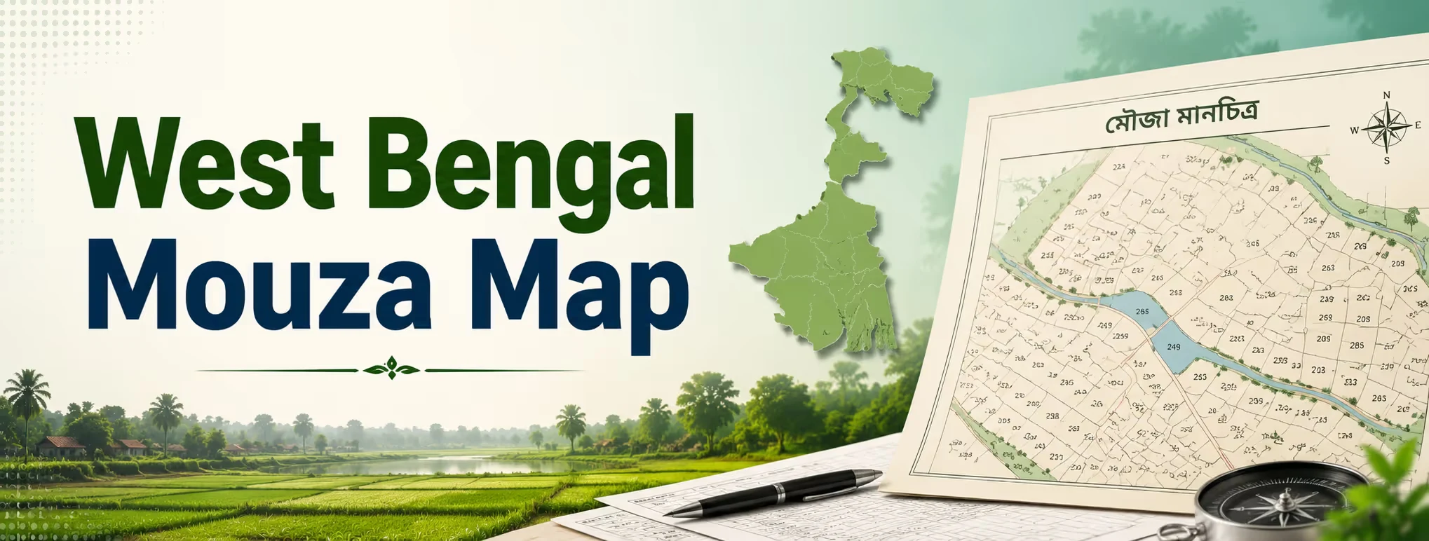
Anyone who has dealt with land in rural Bengal has heard the word "mouza" thrown around constantly, usually without much explanation. It's one of those terms everyone assumes you already understand. If you're new to buying or verifying land in the state, though, getting a grip on what a mouza map actually shows and how to pull one up online can save you from a fair bit of confusion later. This piece breaks down what a West Bengal mouza map is, walks through the mouza map download process on Banglarbhumi, and covers what else is worth checking before you commit to a piece of land.
What Is a Mouza, and Why Does the Map Matter?
A mouza is simply the smallest administrative land unit in Bengal, roughly equivalent to a revenue village. Every plot of land in the state falls inside one mouza or another, and each mouza has its own cadastral map showing plot boundaries, dag (plot) numbers, and how the land is divided. The mouza map itself is a visual record. It doesn't tell you who owns a plot, but it tells you exactly where that plot sits, what shape it takes, and how it relates to neighboring parcels. Pair that with the Record of Rights (RoR) or khatian, and you get the full picture, shape plus ownership.
| Document | What it shows | Where to find it |
| Mouza Map | Plot boundaries and layout within a village | Banglarbhumi portal |
| Khatian (RoR) | Ownership details for a specific plot | Banglarbhumi portal |
| Bhu Naksha West Bengal | Digital plot-level map with dag number | State land records portal |
| Dag Number | Unique plot identifier within a mouza | Assigned during survey |
How to Complete a Banglarbhumi Mouza Map Download?
The banglarbhumi mouza map service runs entirely through the state's official land records portal, and the process follows a set order; you can't jump straight to the download step. Here's how it works, in sequence:
- Visit banglarbhumi.gov.in and sign in (create an account if you don't have one)
- Go to Citizen Services, then select Service Delivery
- From the dropdown, choose Mouza Map Request
- Select your district, block, and mouza name from the menus
- Check Mouza Map Availability Details to confirm the map exists for that area; not every mouza has a digitized map yet
- Fill in your name, guardian's name, and address, then enter the captcha
- Submit the request and note the application number
- Pay the processing fee (typically around ₹150, though this can shift by application type)
- Use the GRN Search option to track your payment and retrieve the finished map.
Once the payment clears, the map usually appears on screen within a short window, and you can download or print it directly. If your mouza isn't digitized yet, you may need to visit the local Land and Land Reforms office instead.
Searching for Land Records Beyond the Map
A mouza map on its own is only half the story. If you're doing a proper land search in West Bengal, you'll also want to look at:
- Plot Info Request — pulls basic plot-level details tied to a dag number
- Khatian search by name or khatian number — confirms who currently holds the land
- Mutation status check — flags whether a recent sale or inheritance has actually been updated in the record
- RS and LR plot comparison — older Revisional Survey numbers sometimes differ from the current Land Reforms numbers, and mismatches here are a common source of disputes.
Skipping any of these and relying only on the mouza map is how buyers end up with a plot whose boundaries look fine on paper but whose ownership trail turns out to be tangled.
Bhu Naksha West Bengal: The Digital Alternative
Some districts also offer plot maps through Bhu Naksha West Bengal, a more visual, GIS-style tool that lets you view a plot's shape and immediate surroundings without going through the full mouza map request flow. It's handy for a quick boundary check, though for anything formal- bank loans, legal disputes, registration-, the certified mouza map from Banglarbhumi is still what most authorities expect.
Buying Farmland in West Bengal: What the Law Actually Says
Before you get attached to a plot, it's worth understanding the legal framework around agricultural land map verification and land ownership in the state. West Bengal's land-reform laws are older and more layered than in many other states. A few things to know:
| Rule | Detail |
| Ceiling on agricultural land | Roughly 17.5 acres for irrigated land, higher for rain-fed land, varying by family size |
| Sale to non-farmers | Often needs government approval in certain cases, depending on land classification |
| Bargadar rights | Registered sharecroppers may hold protected cultivation rights on a plot, even under new ownership |
| NRI/OCI buyers | Cannot directly purchase agricultural land under RBI/FEMA rules; inheritance is still allowed |
| Tribal land | Cannot be transferred to non-tribal buyers under the West Bengal Land Reforms Act |
Unlike some states that require the buyer to already be a registered farmer, West Bengal's framework focuses more on the land itself, its classification, its transfer history, and whether it exceeds ceiling limits, rather than restricting buyers by profession alone. That said, the rules are detailed enough that a quick West Bengal Land Eligibility Guide check before signing anything is a smart move, not an optional one.
Practical Checklist Before You Buy
If you're actively hunting for land in West Bengal, run through this before making an offer:
- Confirm the mouza map matches the seller's description of boundaries
- Cross-check the dag number against the khatian to confirm current ownership
- Ask whether the land falls under any ceiling-surplus category
- Check for bargadar or co-sharer claims on the plot
- Verify mutation has been completed after any past sale or inheritance
- Confirm whether the land is agricultural, and whether that classification matches your intended use
Missing even one of these steps is a common reason land deals in Bengal fall apart months after the token amount has already changed hands.
Where Bigha Fits In?
Manually piecing together mouza maps, khatians, and mutation records across different Banglarbhumi service tabs takes patience most buyers don't have lying around. This is the exact gap that better real estate websites are supposed to fill, and it's a big part of why platforms focused on selling property online have gained ground over the last few years. If you're browsing farmlands near me and want listings that come with the groundwork already done, Bigha verifies mouza-level records, khatian details, and mutation status before a plot goes live on the platform. That means you're not the one chasing down GRN numbers or guessing whether a khatian entry is current; the heavy lifting on land verification happens before you even see the listing. For anyone weighing land in West Bengal against options in other states, having that verification built in upfront makes comparing plots a lot less risky.
Disclaimer: This article is for informational purposes only and should not be considered investment, legal, financial, or property advice. Real estate regulations, infrastructure plans, market conditions, and government policies may change over time. Readers are advised to verify information with relevant authorities and consult qualified professionals before making any investment or property-related decisions.