Key Takeaways
- The Varanasi-Ranchi-Kolkata Expressway or Varanasi-Kolkata Expressway or NH-319B is the proposed 610-km-long six-lane greenfield highway connecting the states of Uttar Pradesh, Bihar, Jharkhand, and West Bengal.
- The highway project is currently under construction by the National Highways Authority of India (NHAI) through the Bharatmala Pariyojana project, with an estimated cost of construction around Rs 35,000 crore.
- The foundation stone for the highway was laid down by the President on 23 February 2024, while the construction work for the UP, Bihar, and Jharkhand portions is underway, but the portion in West Bengal has faced the issue of land acquisition.
- Land parcels adjacent to the expressway corridor, particularly in Varanasi, Ranchi, and West Bengal exit point near Kolkata, are attracting many investors. But prospective buyers need to be careful with regard to checking land records and verifying the location of their plots before purchasing the land parcel.
- After completion of the expressway, the travel time from Varanasi to Kolkata will reduce considerably, which will benefit real estate development, industry, and tourism along the entire length of the highway.
Introduction
Not only do big highways accelerate the movement of vehicles; they also have an effect on the property market. One such highway is the Varanasi-Ranchi-Kolkata Expressway, which is under construction and has attracted the attention of all property buyers, investors, and homeowners residing in four different states. Spanning almost 600 kilometres in distance from the spiritual city of Varanasi to the industrial zone around Kolkata, this expressway is bound to alter the connectivity, valuation of land, and business prospects along its route. Whether you intend to invest in land in Varanasi, look for plots of land in Ranchi, or purchase a plot for sale in Kolkata, knowing about the route, cost, and progress of this expressway will definitely be beneficial for you.
What is the Varanasi-Ranchi-Kolkata Expressway?
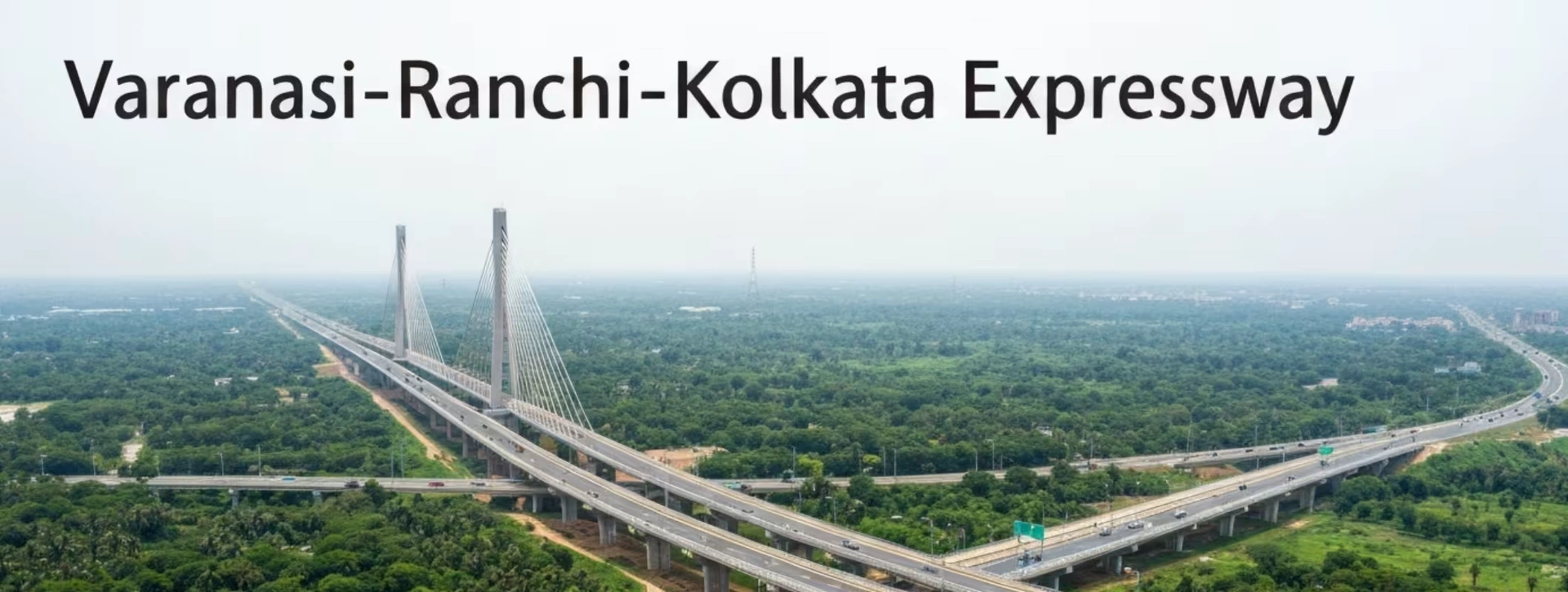
NH-319B or the Varanasi-Ranchi-Kolkata Expressway is a projected expressway with a total length of 610 kilometers and is a six-lane access-controlled expressway. An access-controlled expressway refers to a greenfield expressway that is constructed on newly acquired land instead of upgrading the already available highway infrastructure.
The expressway connects:
- Varanasi Ring Road near Barhuli village in Uttar Pradesh (starting point)
- Several districts in Bihar
- Ranchi and other parts of Jharkhand
- Howrah, near Kolkata, in West Bengal (end point, joining NH-16 near Uluberia)
The expressway is being developed under Bharatmala Pariyojana Phase 2 by the National Highways Authority of India (NHAI), which is the flagship road development scheme initiated by the central government of India in order to enhance the movement of freight traffic as well as connectivity among various states of the country.When it becomes operational, it will follow a route roughly parallel to the existing NH-19 (formerly NH-2).
Varanasi-Ranchi-Kolkata Expressway Route Map
Understanding the exact route is important for anyone planning to buy land near the corridor, since land values typically rise fastest closest to interchange points and access roads.
State-Wise Route Breakdown
State | Approximate Length | Key Districts / Towns Covered |
Uttar Pradesh | ~22 km | Varanasi (Chandauli district, starting near Barhuli village) |
Bihar | ~159 km | Chandauli border, Kaimur, Rohtas (Sasaram), Aurangabad, Gaya |
Jharkhand | ~187 km | Chatra, Hazaribagh, Ramgarh, Peterbar, Bokaro (near Ranchi) |
West Bengal | ~242 km | Purulia, Bankura, Arambagh, Hooghly, Uluberia (Howrah) |
Route Highlights
- Uttar Pradesh stretch: The expressway starts from the Varanasi Ring Road at Barhuli village in Chandauli district. This small yet critical portion connects the peripheral regions of Varanasi with the larger expressway system.
- Bihar stretch: This is the largest stretch of the entire project and covers many important cities including Sasaram, Aurangabad, and Gaya in the agricultural and semi-urban belt of central Bihar.
- Jharkhand stretch: The expressway passes through Ranchi, Bokaro, and Hazaribagh – cities which belong to the mineral and industrial belt of Jharkhand. That is the reason why many people have been looking for buying land in Ranchi before its prices increase further.
- West Bengal stretch: This is the last and largest stretch of the entire project which passes through Purulia, Bankura, and Hooghly till it reaches Uluberia in Howrah district near the Kolkata metropolitan belt.
Why the Route Matters for Property Buyers
The plots that are situated close to the suggested interchange, service road, and junction are the ones which will have the highest increase in value when the work is already progressing. When one plans to purchase a plot of land in outer Kolkata or investigate farmland near me in the Howrah-Hooghly region, it is crucial to trace down the correct route rather than the name of the district.
Project Cost and Funding
Infrastructure of this scale requires substantial investment, and the numbers involved give a sense of the project's importance.
- Approximate total project cost: Estimated at around Rs 35,000 crore (earlier cost estimation by NHAI was somewhere near Rs 28,500 crore before any change in alignment and scope raised the cost).
- Funding agency: The funding for the project comes from the Bharatmala Pariyojana plan, which is executed by NHAI.
- Construction methodology: Most of the contracts have been awarded on the basis of EPC method, which means private parties will build the road as per specifications of NHAI in stages.
- Total number of packages: The 610 kilometers-long expressway has been segregated into about 13-14 construction packages.
Some of the key contractors involved across various packages include established road-building firms such as PNC Infratech, H.G. Infra Engineering, Ceigall India, and others — a sign that the project is attracting serious, experienced infrastructure players.
Latest Project Status (2026 Update)
Large highway projects rarely move in a straight line, and this one is no exception. Here is where things currently stand, state by state.
Uttar Pradesh and Bihar: Construction Underway
The Prime Minister laid the foundation stone for the expressway on 23 February 2024, marking the formal start of construction activity. Since then:
- The land acquisition process in Chandauli (Uttar Pradesh) is almost completed and construction contracts have been signed by the contractors there.
- A number of packages are under construction in Bihar and include the sections passing through Kaimur, Rohtas and Aurangabad and many contractors are working on the sites and compensation is being paid to those whose lands have been acquired.
- Administrations in areas such as Bhabua (Kaimur) district have even stopped farming on the acquired land.
Jharkhand: Progressing in Phases
Multiple packages covering the Chatra-Hazaribagh-Ramgarh-Bokaro stretch have been awarded, and work is progressing, though at varying speeds depending on the package and local land handover status.
West Bengal: The Slowest Stretch
This is where the project has faced the most friction. Land acquisition in West Bengal follows a different state-level process than in UP, Bihar, and Jharkhand, and this mismatch has repeatedly delayed tendering for the West Bengal packages. The state government's consent for the project alignment was received in January 2023, and a revised alignment (responding to state government requests) was approved in October 2024 — but on-ground land acquisition and construction in this stretch remain behind the other three states.
Expected Completion
There have been multiple changes in the official deadlines. The earlier official timeline had projected that the construction would be completed by FY 2026-27, but recent project updates reveal that there has been a change in deadline to about March 2028, mostly because of the delay in West Bengal. Buyers are advised to view these deadlines as indicative only.
Land Impact: What It Means for Landowners and Buyers
An expressway of this scale doesn't just affect the road corridor — it reshapes land use, farming patterns, and property values across the districts it passes through.
Impact on Existing Landowners
- Compensation: Farmers who own land in the acquisition corridor are paid for their lands in accordance with notified prices from the government, which usually exceed market prices to facilitate the process of acquisition.
- Limitations on agricultural activities: In several districts, the administration has requested farmers not to cultivate their acquired land in order to avoid disputes related to compensation for damages caused and to ensure that the construction schedule is met.
- Challenges of fragmented land ownership: Landowners with their land split due to expressway alignment find their usable land reduced, an issue that administrations take into consideration when compensating farmers.
Impact on Nearby Property Values
Historically, in India, land within 5-10 km of a new expressway corridor tends to see the fastest price appreciation, especially near interchanges, toll points, and service roads. For this project, early signs of interest are visible in:
- Outer Varanasi (Chandauli side), where buyers are actively looking to buy land in Varanasi as ring-road connectivity improves.
- Ranchi's peripheral zones, where a plot in Ranchi near the Bokaro-Ramgarh stretch is drawing attention from both end-users and investors.
- West Bengal's Howrah-Hooghly belt, where interest in a plot for sale in Kolkata's outskirts is rising in anticipation of the expressway's completion, even though this stretch is still catching up on land acquisition.
A Word of Caution for Buyers
Not every plot advertised as being "near the expressway" is genuinely close to the finalised alignment. Some land parcels marketed aggressively during the land acquisition phase later turn out to be outside the actual corridor, or the ownership records may not be fully clear (a common issue when family members of original landowners claim portions of already-notified land). This is exactly why due diligence — checking land records, verifying survey numbers, and confirming the alignment through official NHAI documents — is non-negotiable before any purchase.
This is where a platform like 2Bigha becomes genuinely useful. It helps property buyers and investors explore verified land records, check plot boundaries, and access real estate information tied to infrastructure corridors like the Varanasi-Ranchi-Kolkata Expressway, reducing the risk of buying based on word-of-mouth claims alone.
Key Benefits of the Expressway
1. Faster Connectivity
Once complete, travel time between Varanasi and Kolkata is expected to reduce significantly compared to the current route via NH-19, which is often congested through smaller towns.
2. Boost to Industrial and Mining Belts
The expressway passes close to Jharkhand's mineral-rich districts (Bokaro, Hazaribagh, Ramgarh) and West Bengal's industrial pockets (Hooghly, Howrah), which should improve logistics for coal, steel, and manufacturing units in the region.
3. Growth in Real Estate and Local Economies
Better road access typically brings new housing developments, warehousing hubs, and small businesses along the corridor. Districts that were previously considered remote — parts of Aurangabad, Gaya, Purulia, and Bankura — may see a fresh wave of development interest.
4. Tourism Support
Varanasi is one of India's most visited spiritual destinations, and improved connectivity to eastern India could support religious and cultural tourism circuits linking Varanasi with destinations further east.
5. Investment Opportunities for Land Buyers
For long-term investors, corridors like this often present a window to enter at relatively lower prices before full completion drives up demand — though this comes with the risk of extended timelines, as seen with the West Bengal stretch.
How to Evaluate Land Purchases Near the Expressway
If you are considering land purchases — whether it's farmlands near me in a rural stretch or a residential plot for sale in a growing town along the route — keep these points in mind:
Verify the Official Alignment
Make sure the geographical location of the plot in question aligns with the alignment maps and chainage details of NHAI published in their packages.
Check Land Titles Thoroughly
Check whether there is a title to the property in question, if there are no litigations pending, and whether it is not already in an acquisition notice (which would mean the property is not transferable).
Understand the Local Master Plan
The districts through which the project passes might also have their own state/district master plans, and knowing about zoning (residential, agricultural or commercial) would make sure that one has realistic expectations regarding development.
Consider a Subscription Plan for Ongoing Updates
As these mega projects take time to develop, choosing a subscription-based plan from a trusted property information company would help keep oneself updated about any changes regarding the land records, pricing, or construction in one's area of interest.
Don't Rush Based on Hype Alone
Land selling activity tends to spike whenever an expressway makes news — foundation stone ceremonies, tender awards, or compensation payouts. Prices can rise quickly on sentiment even before actual construction reaches a particular stretch. Buyers should balance genuine long-term potential against the risk of overpaying during a hype cycle.
Conclusion
The Varanasi-Ranchi-Kolkata Expressway is shaping up to be one of eastern India's most significant infrastructure projects, with the potential to transform connectivity, industry, and real estate across four states. While construction is progressing steadily in Uttar Pradesh, Bihar, and Jharkhand, the West Bengal stretch continues to face land acquisition hurdles that make the final completion timeline somewhat uncertain. For property buyers, investors, and homeowners eyeing opportunities to buy land in Varanasi, secure a plot in Ranchi, or invest in a plot for sale in Kolkata's outer zones, the key lies in patient, well-researched decision-making — verifying official alignments, checking land records, and tracking genuine construction progress rather than reacting to headlines alone. Platforms like 2Bigha can support this process by offering access to land records, plot verification tools, and real estate insights, helping you approach this evolving corridor with confidence rather than guesswork.
Disclaimer: This article is for informational purposes only and should not be considered investment, legal, financial, or property advice. Real estate regulations, infrastructure plans, market conditions, and government policies may change over time. Readers are advised to verify information with relevant authorities and consult qualified professionals before making any investment or property-related decisions.