Key Takeaways
- DILRMP 3.0 covers the 2026–2031 period and moves India's land-record system beyond basic digitisation towards georeferencing, database integration, ULPIN/Bhu-Aadhaar, modernised revenue administration and Land Stack infrastructure.
- Digital records can make it easier to check ownership-related information, mutation entries, cadastral maps and registration records before purchasing land.
- ULPIN, commonly called Bhu-Aadhaar, is designed to provide a unique geo-coordinate-based identity to individual land parcels.
- Digitisation improves transparency, but an online Record of Rights should not be treated as a substitute for complete legal due diligence.
- Agricultural land buyers must still check state-specific purchase eligibility, title history, encumbrances, land classification, access, boundaries and actual possession.
- Digital land records can make online discovery through a dedicated land marketplace more useful because buyers can cross-check listing information against government records before moving forward.
What Is DILRMP and Why Is It Important in 2026?
For decades, buying land in India often involved a familiar but frustrating process: visiting a patwari, tehsil office, sub-registrar, local survey department and sometimes several other offices simply to understand who owned a parcel and what was recorded against it.
Records could exist in different registers. Maps might not match textual information. Mutation could be pending even after a sale. Old spellings, inheritance entries and manually drawn boundaries could create another layer of confusion.
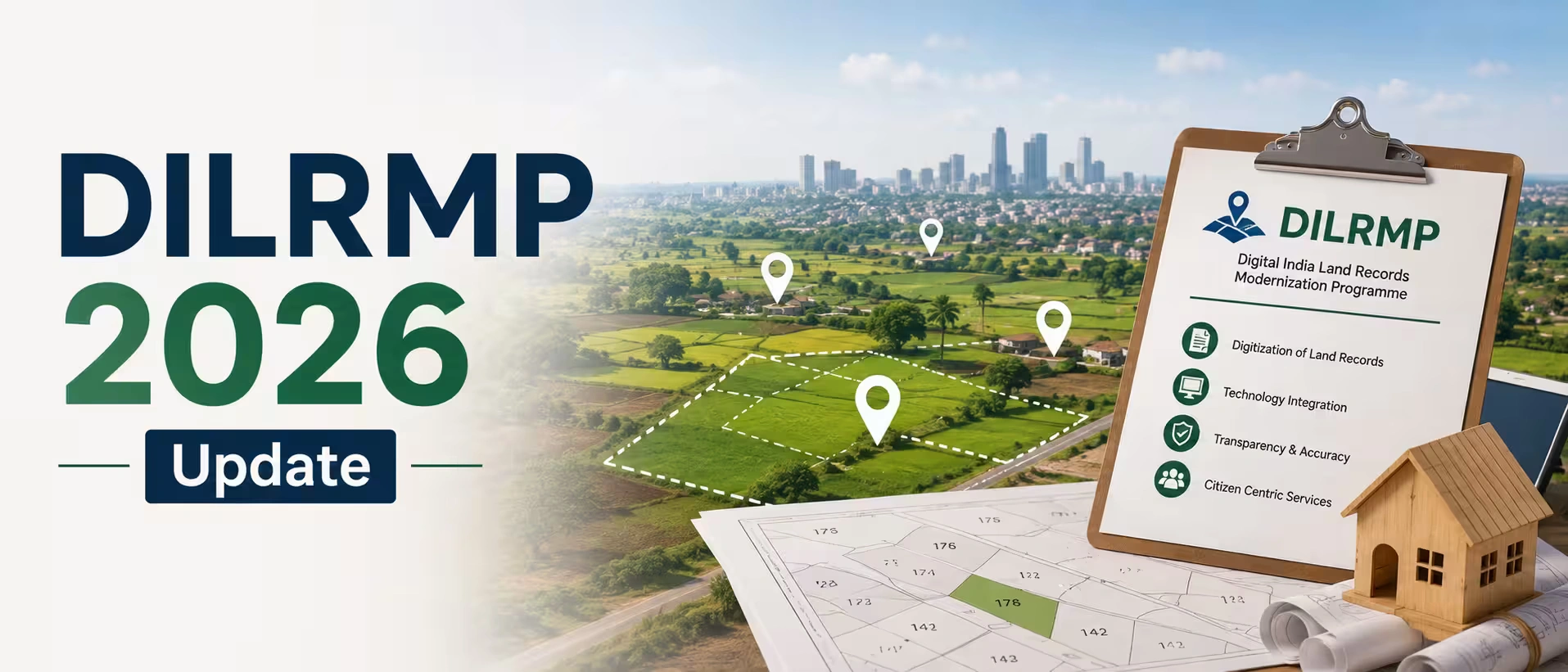
The Digital India Land Records Modernization Programme, or DILRMP, aims to change this.
The earlier National Land Records Modernization Programme was introduced in 2008 and was revamped as DILRMP as a Central Sector Scheme from April 2016. Its broader objective is to develop a modern and transparent land-record management system, improve access to real-time land information, reduce disputes and fraudulent transactions, and connect registration with revenue records.
The significance of 2026 is that India is now entering another phase of this transition.
The Department of Land Resources has published operational guidelines for DILRMP 3.0 for 2026–2031. The emphasis is increasingly moving away from simply scanning or computerising old records towards creating connected, georeferenced and more dynamically updated land-information systems.
For anyone dealing with agriculture land in india, that transition matters considerably. Agricultural transactions often depend on revenue records, mutation history, khasra or survey numbers, land classification and physical boundaries much more heavily than a typical apartment purchase.
What Has Changed Under the DILRMP 2026 Update?
The biggest change is not that India suddenly has digital land records in 2026. Many states have provided online access for years.
The bigger change is integration.
Under the current direction of DILRMP 3.0, the government is focusing on areas including computerisation of land records, modernisation of tehsil-level record rooms, georeferencing, ULPIN assignment, integration of additional details with land-record databases, computerisation of revenue courts and their connection with land records, Core GIS infrastructure and Land Stack software. Pilot work relating to urban land-record mapping is also part of the broader modernisation effort.
This distinction matters.
A PDF copy of an old revenue register is useful, but a genuinely digital land ecosystem should ideally allow multiple pieces of information to connect with each other.
A buyer should eventually be able to move more easily between the parcel's textual record, map, registration history, mutation status and other relevant government databases instead of treating every department as a separate information island.
Land Stack Could Become an Important Part of This Shift
Land Stack is particularly significant.
A pilot was launched in Tamil Nadu and Chandigarh at the end of 2025. The government's description presents it as a GIS-based system designed to integrate information relating to land, ownership, registration and buildings so different government departments can work through a more interoperable system.
In practical terms, think of it as an attempt to create a connected digital layer around a land parcel.
That does not automatically make every parcel legally dispute-free. It does, however, create the potential for much better cross-verification.
How Much of India's Land Record System Is Already Digital?
The answer depends on exactly which DILRMP component is being measured.
The Department of Land Resources' Year-End Review for 2025 reported computerisation of Records of Rights in 97.27% of villages and cadastral-map digitisation at 97.14%. It also reported that textual RoRs and spatial maps had been integrated in 84.89% of villages. At that point, people in 19 states could download digitally signed, legally valid land records, while banks in 406 districts could verify mortgages online.
The live DILRMP MIS dashboard uses component-specific counts and currently reports different percentages. As of its August 2026 reporting, it showed computerisation of land records covering 95.56% of villages, while cadastral maps were linked with Records of Rights in 72.01% of villages. It also showed 95.73% of Sub-Registrar Offices computerised and 88.56% integrated with land records.
The percentages should not simply be compared as though they measure the same denominator or workflow.
The more useful conclusion for a buyer is this: basic record computerisation is far ahead of complete record integration.
That is why you should never assume that because one document is available online, every connected record for that land is automatically updated and consistent.
What Is Bhu-Aadhaar or ULPIN?
ULPIN stands for Unique Land Parcel Identification Number.
It is often described as Bhu-Aadhaar because it provides an individual identifier for a land parcel. The identifier is based on geo-coordinates and is intended to make parcels easier to identify consistently across digital systems.
By November 2025, the government reported that ULPIN had already been assigned to more than 36 crore land parcels across 29 states and Union Territories.
This can become particularly valuable in rural areas.
Imagine a village where multiple owners have similar names, old khasra numbers have changed after subdivision, and family land has passed through several generations. A location-linked parcel identifier can reduce ambiguity when properly mapped and maintained.
For people interested in buying agricultural land, this could make parcel-level verification more structured over time.
However, Bhu-Aadhaar identifies the parcel. It should not be interpreted as a government promise that the seller has an absolutely clean and marketable title.
That distinction is essential.
How Land Record Digitisation Helps Agricultural Land Buyers
Agricultural land buyers probably stand to gain more from better land-record digitisation than many other categories of property buyers.
An apartment buyer typically deals with an identified project, developer documents and a defined unit. Rural land can be different. You may be dealing with survey numbers, irregular boundaries, inherited ownership, cultivation records, rights of way and local restrictions that are not obvious during a site visit.
Digital systems can improve the starting point for due diligence.
For example, depending on the state, you may be able to search a Record of Rights using an owner name, khasra number, khata number, khewat number or other local identifier. Haryana's Jamabandi portal, for example, provides access to land-related information including Jamabandi records and sanctioned mutations, illustrating how state land portals are already becoming practical verification tools.
Suppose you find agriculture land for sale outside Alwar, Jaipur, Gurugram, Lucknow or another fast-developing corridor.
Previously, a buyer from another city might depend almost entirely on whatever documents the seller or broker supplied.
Today, the first stage can be different.
You can identify the location, ask for the khasra or survey number, check the available state revenue record, compare the recorded owner, review available mutation information and inspect cadastral mapping before spending money on repeated site visits.
That creates a far better first filter.
But it is still a filter—not your final legal clearance.
Digital Records Do Not Eliminate the Need for Due Diligence
This is probably the most important point in the entire DILRMP discussion.
A digital record can make information easier to access. It does not automatically correct every historical problem contained in that information.
If a family inheritance dispute has remained unresolved for 20 years, putting the existing entry online does not resolve the inheritance dispute.
If the cadastral boundary differs from actual possession on the ground, digitising the cadastral map does not automatically settle the physical boundary.
If an old transfer involved defective documentation, the fact that a current revenue entry appears online does not necessarily repair the original defect.
This is why buyers should treat digital land records as an important part of verification rather than as a complete title certificate.
Real-estate guidance on agricultural purchases also continues to recommend checking title documents, encumbrances, revenue records and registration details instead of relying on a single document.
Practical Land Verification Checklist
What to Check | Why It Matters |
Registered sale deed and previous title documents | Establishes how ownership moved from one owner to another |
Record of Rights / Jamabandi / Khatauni / RTC / equivalent state record | Helps verify recorded ownership, rights and land details |
Mutation entries | Shows whether ownership changes were updated in revenue records |
Encumbrance information | Helps identify registered mortgages, charges or transactions |
Khasra, survey number and cadastral map | Connects the documents with the actual land parcel |
Land classification | Confirms whether the land is agricultural, converted or subject to another category |
Physical measurement and site boundaries | Helps identify encroachment or mismatch between documents and ground reality |
Access road and right of way | A land parcel can be legally owned but practically difficult to use without lawful access |
Pending disputes or revenue proceedings | Helps identify risks that may not be obvious from a normal listing |
State-specific buyer eligibility | Agricultural land purchase rules are not uniform across India |
For a large or high-value purchase, use an independent property lawyer, surveyor and relevant local revenue professionals before paying a substantial token or signing the final transaction documents.
Agricultural Land Laws Still Differ From State to State
DILRMP creates digital infrastructure, but it does not make agricultural land laws identical across India.
Land continues to be administered primarily at the state level. That means the terminology, buying restrictions, conversion procedures, ceiling rules and revenue documents can differ significantly.
A buyer looking at Rajasthan may encounter terminology such as Jamabandi and khasra. Someone examining land in Uttar Pradesh may work heavily with Khatauni and khasra records. Maharashtra transactions frequently involve the 7/12 extract, while Karnataka has its own RTC-based land-record system.
More importantly, eligibility rules can differ.
Therefore, do not assume that a process that worked for a land purchase in Rajasthan automatically applies to Maharashtra, Himachal Pradesh, Karnataka or another state.
This matters when browsing farm listings nationally. The photographs, acreage and asking price may look similar, but the legal framework behind the parcels can be very different.
What Does Digitisation Mean for Land Sellers?
The benefits are not restricted to buyers.
Owners planning to sell rural land should use digitisation as an opportunity to clean up their records before placing the property on the market.
Imagine two neighbouring parcels available at similar prices.
The first seller has an updated mutation, a matching digital revenue record, correct survey information, clear access and documents that correspond with the physical parcel.
The second seller says, "Everything is fine, we will sort out the papers after the token."
A serious buyer will increasingly favour the first property.
Before selling property online, owners should therefore check whether their name appears correctly in the relevant land record, whether inheritance or mutation entries are pending, whether the survey details match the land being offered and whether co-owners have been properly identified.
Clean documentation does not just reduce legal risk. It can improve buyer confidence and shorten unnecessary back-and-forth during negotiations.
Online Listings and Government Land Records Serve Different Purposes
This distinction is increasingly important as land discovery moves online.
Property listing websites help buyers discover available land.
Government land-record portals help buyers verify information recorded by public authorities.
Neither should completely replace the other.
Someone searching real estate websites in india may find hundreds of properties in a particular region, but a polished listing does not establish legal ownership.
Similarly, a government revenue entry does not tell a buyer whether the property has good road connectivity, whether the site is waterlogged during monsoon, how far it is from the highway, what surrounding development looks like or whether the asking price makes sense locally.
A sensible digital land-buying journey combines both sides:
Discover online → identify the actual parcel → inspect government records → visit the site → conduct independent legal and physical verification → negotiate → register → confirm mutation.
That is a much safer workflow than choosing a property based only on photographs or broker assurances.
What About Farmhouses and Farm Plots?
Digitisation is equally relevant when buyers are looking for recreational farmland, farm plots or farmhouse properties.
A search such as farm house for sale can produce attractive listings showing greenery, boundary walls, plantations, pools or constructed structures.
The land underneath the marketing deserves more attention than the photographs.
Ask whether the underlying parcel remains classified as agricultural land. Check whether any construction is legally permissible under applicable local rules. Confirm access, ownership, survey boundaries and whether the person selling the property has the authority to transfer the entire parcel.
A beautiful farmhouse with unclear land documentation can become a very expensive problem.
Where 2Bigha Fits Into a More Digital Land Market
As government records become easier to access, digital land discovery can become much more meaningful.
2Bigha focuses on land and agricultural property discovery through a map-led marketplace approach, helping buyers explore relevant opportunities instead of depending entirely on fragmented offline broker networks.
For someone searching for land in another district or state, this can simplify the earliest part of the journey: finding options, understanding location and comparing available properties before deciding which parcels deserve deeper investigation.
The platform can be particularly useful when users combine property discovery with the verification habits encouraged by DILRMP—asking for the correct land identifiers, reviewing available government records and then conducting proper due diligence before purchase.
2Bigha also provides a subscription plan and property management service for users who need those options.
The bigger opportunity is not simply putting more properties online. It is creating a market where better property information and better government records encourage buyers and sellers to make decisions with more evidence and less dependence on informal assurances.
Does DILRMP Make Land Transactions Fraud-Proof?
No.
It should make certain types of fraud harder and make inconsistencies easier to detect, particularly as textual records, maps, registration systems and parcel identifiers become more closely connected.
But technology cannot remove the need for judgement.
A fraudster may still misrepresent access. A co-owner may be left out. A boundary dispute may exist on the ground. An old court matter may need investigation. Agricultural purchase restrictions may apply to the buyer. A seller may advertise a larger area than the parcel actually measures.
Think of digitisation as better visibility.
Better visibility reduces information asymmetry. It does not eliminate transaction risk.
That is an important difference for anyone investing serious money in rural property.
What Can Landowners and Buyers Expect Next?
DILRMP 3.0 is likely to make the next phase of India's land digitisation less about uploading records and more about connecting them.
The government's 2026 roadmap points towards georeferenced parcels, ULPIN expansion, revenue-court integration, modernised Sub-Registrar Offices, Core GIS and Land Stack systems.
For citizens, the ideal outcome is straightforward: fewer office visits, easier access to reliable information, quicker mutation, clearer parcel identification and better coordination between registration and revenue systems.
The difficult part will be maintaining accuracy.
Land constantly changes through inheritance, sale, partition, acquisition, mortgage, subdivision and court orders. A digital database that is not updated quickly can eventually become as unreliable as an outdated paper register.
So the success of DILRMP 3.0 should not be measured only by how many records have been digitised.
The more meaningful question is: when a land transaction happens, how quickly and accurately do all connected records reflect that change?
That is where the real value of digital land governance will emerge.
Final Thoughts
DILRMP 2026 represents an important transition in the way Indians research, own, sell and transact in land.
For prospective buyers, particularly those dealing with rural and agricultural property, easier access to digital records creates an opportunity to conduct more checks before committing money.
For sellers, updated records can strengthen buyer confidence and make a property easier to transact.
For digital platforms such as 2Bigha, the shift can help build a more transparent environment where online property discovery connects more naturally with parcel-level verification.
But the basic rule of land buying has not changed.
If you are considering a property, identify the exact parcel, examine the available digital records, physically inspect the land and independently verify its ownership, title history, boundaries, classification and legal status.
Digitisation can make that process faster.
It should never become an excuse to skip it.
Disclaimer: This article is for informational purposes only and should not be considered investment, legal, financial, or property advice. Real estate regulations, infrastructure plans, market conditions, and government policies may change over time. Readers are advised to verify information with relevant authorities and consult qualified professionals before making any investment or property-related decisions.