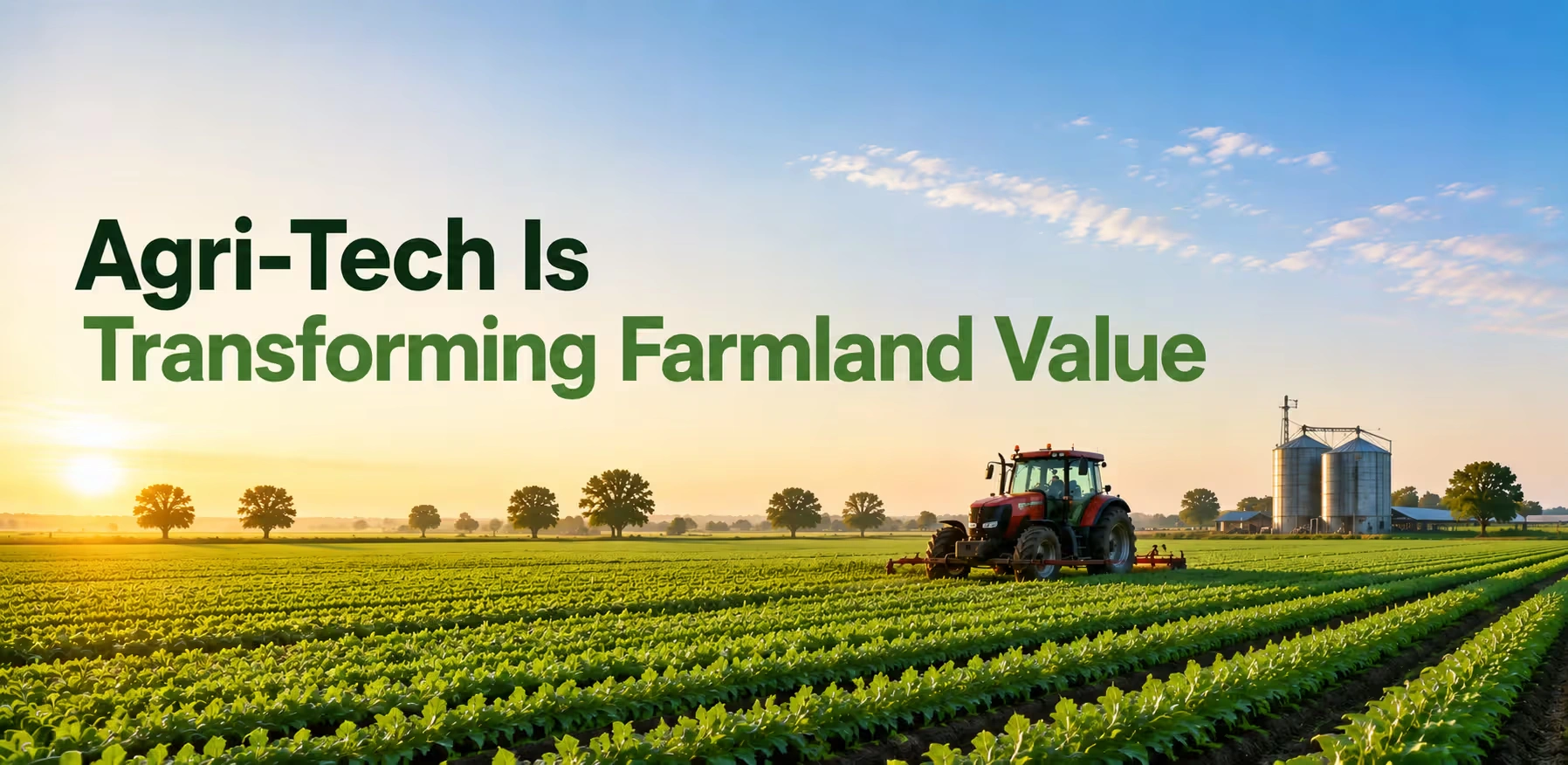
A few years ago, if you asked a broker what made one land cost more than the one next to it, the answer would always turn out to be soil, water, and road access. Ask that same question today, and you'll get a lot more things to consider. Does the plot have a soil-sensor history? Is it mapped for drone spraying? Can the buyer pull up satellite yield data before even visiting? Technology has quietly worked its way into how Indian farmland gets priced. Not overnight, and not everywhere at once, but the shift is real, and it's showing up in what people are willing to pay. This isn't about gadgets for their own use. It's about how drones, sensors, satellite imagery, and simple mobile apps are defining what "good land" even means.
Why Tech-Enabled Land Commands a Premium Now?
Here's the basic logic buyers are working with. A plot where proper irrigation efficiency, documented soil health, and access to precision tools carry less risk than one where none of that exists. Less risk usually means a buyer is willing to pay more, or at least negotiate less aggressively. Take drone spraying as one example. A single drone can now cover an acre of pesticide or fertilizer application in under ten minutes, compared to a full day of manual labour.
Farmers are increasingly hiring drone operators on a pay-per-acre basis rather than owning the hardware themselves, which means this efficiency isn't limited to large estates anymore. Even people with a small piece of land who are looking to buy land in Maharashtra or plot for sale in Punjab are now asking whether drone-service access exists nearby, because it directly affects how cheaply and effectively that land can be farmed. Add satellite-based crop monitoring into the picture, and the story gets even clearer. Platforms that track soil moisture, nutrient stress, and yield patterns from space let a buyer check a field's health history before ever stepping onto it. That kind of transparency used to be impossible. Now it's a few taps away.
What's Actually Driving the Value Bump?
Precision Inputs Cut Waste, and Waste Cuts Profit
Traditional spraying methods use anywhere from 400 to 600 litres of water per acre. Drone-based spraying does the same job with 40 to 60 litres. That's not a small efficiency gain; it's the difference between a farm that can survive a dry season and one that can't.
Land with a track record of lower input costs and higher output per acre becomes measurably more attractive. Investors who are comparing Farmland for Sale in Andhra Pradesh against a similar plot elsewhere will often factor in whether the land has already benefited from precision practices, because that history tends to predict future performance.
Government Push Is Making Adoption Faster
Programs like the drone subsidy scheme for women's self-help groups, along with subsidized rates for individual farmers and farmer producer organisations, have pulled agri-tech out of the "expensive luxury" category. When a district has strong scheme penetration, land values in that belt tend to move up faster than in areas where adoption is still catching up.
Soil and Water Data Are Now Sale Documents
It used to be that land documentation meant title deeds and revenue records. Increasingly, sellers are attaching soil test reports, groundwater data, and even satellite health scores to their listings. A buyer looking to purchase land no longer has to take a seller's word for how productive a plot has been; the data speaks for itself.
A Quick Comparison: Tech-Enabled vs Traditional Farmland
| Factor | Traditional Farmland | Agri-Tech Enabled Farmland |
|---|---|---|
| Input Costs (Water, Pesticide) | Higher, less controlled | 20–40% lower on average |
| Yield Visibility for Buyers | Based on hearsay or past season | Verifiable through satellite and drone records |
| Irrigation Efficiency | Depends on manual monitoring | Sensor-driven, on-demand watering |
| Disease/Pest Detection | Visual inspection, often delayed | Early detection through multispectral imaging |
| Buyer Confidence | Moderate | Higher, due to documented performance |
| Typical Price Trend | Stable or slow-moving | Gradual premium over comparable plots |
Numbers here vary by region and crop, but the direction is consistent. Tech-backed land tends to hold or gain value faster than land without any of this history behind it.
Where Is This Playing Out Right Now?
- Punjab and Haryana – Already strong on irrigation, these states are adding drone-based spraying and IoT soil sensors on top, pushing well-managed plots further ahead of average land.
- Maharashtra – Cotton and horticulture belts are seeing rising interest from buyers who specifically want land with drone-service access nearby.
- Karnataka and Andhra Pradesh – Satellite monitoring adoption is climbing, particularly for horticulture and spice cultivation, where early disease detection saves entire seasons.
- Tier 2 and Tier 3 regions generally – Mobile-first apps for weather forecasting, mandi price tracking, and disease identification are closing the information gap between big estates and small landholders, which is slowly narrowing the price difference between them too.
If you're looking out for Land for Sale in Karnataka this year, you can also consider asking the seller directly whether the plot has any satellite monitoring or sensor history. It's becoming a normal question, not an unusual one.
What Buyers Should Actually Check?
Before making the assumption that a plot is "tech-ready" just because a broker says so, try to verify a few things directly:
- Ask for soil test reports from the last two to three years, not just one.
- Check if the land falls within an area covered by any government drone or sensor subsidy scheme.
- Look for groundwater depth records and irrigation source documentation.
- Ask whether the seller has satellite-based yield or health data available, and if so, for how many seasons.
- Confirm mobile network and internet coverage in the area, since most of these tools depend on connectivity to function properly.
None of this replaces an actual site visit. But it does mean you're not walking in blind.
Should Sellers Invest in Agri-Tech Before Listing?
This comes up a lot, and the honest answer is: it depends on your timeline. Installing soil sensors or running a season of drone-based satellite monitoring before selling can genuinely boost buyer interest, especially for larger plots or land targeted at investment buyers rather than owner-cultivators. For smaller parcels being sold quickly, the cost of setting up new tech might not be worth it. In that case, simply gathering existing records, past yield data, water source details, and any government scheme documentation can still help a listing stand out without extra spending.
Why Does This Matters for 2Bigha Users?
With buyer decisions becoming more data-driven than ever, there certainly needs to be a marketplace that structures this data properly. 2Bigha, being based entirely on this very principle, offers the user the ability to get an organized land listing where the soil quality, accessibility, and certification are structured properly instead of scattered across WhatsApp and call conversations.
In case you need to sell the land that has some kind of agri-tech behind it, such as drone-based irrigation or certified soil quality, 2Bigha becomes your marketplace where you can show everything off properly. And in case you need to buy land that is worth its price, 2Bigha will help you do that without any trouble at all.
Conclusion
Pricing of farmland in India has always been based on soil, water, and land location. However, there have been changes in the way that the information about the land has been verified. With drones, satellites, and sensors being used, it becomes easier to see the exact value of farmland. In addition, whether a person wants to purchase the land or sell it, he or she needs to consider how ready it is for modern technologies.
Disclaimer: This article is for informational purposes only and should not be considered investment, legal, financial, or property advice. Real estate regulations, infrastructure plans, market conditions, and government policies may change over time. Readers are advised to verify information with relevant authorities and consult qualified professionals before making any investment or property-related decisions.