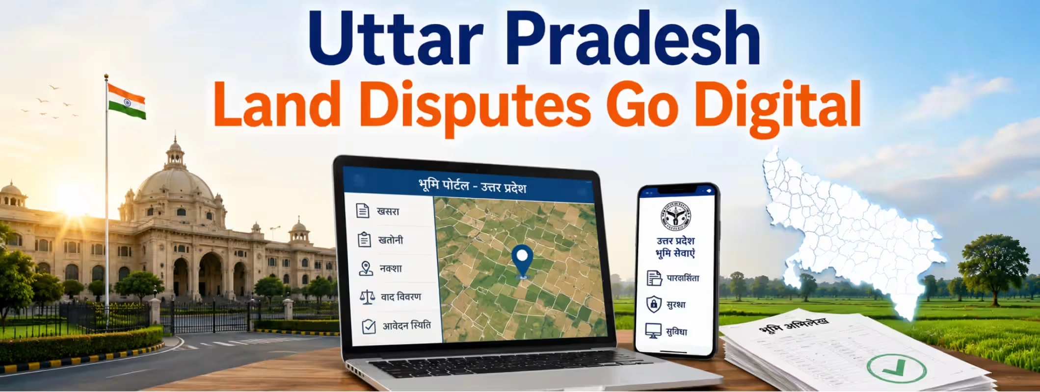
Anyone who has dealt with land in Uttar Pradesh knows the drill. A boundary that looked fine on paper suddenly becomes a fight between neighbors. A survey number that hasn't been updated in decades. A tehsil office visit that eats up an entire day, only to be told to come back next week. For years, this was just accepted as part of owning land in UP. But that's been changing steadily, as the state pushes land records and measurement processes onto digital platforms. Special measurement drives, where revenue teams use modern tools like GPS and total stations to re-survey land and update records, are becoming a bigger part of how the state tackles the backlog of disputes. This blog looks at what these digital measurement efforts actually involve, why they matter for anyone planning to Buy Land in Uttar Pradesh, and what to check before you rely on updated records.
Why Are Land Disputes So Common in UP?
Before getting into the digital side, it helps to understand why disputes pile up in the first place.
- Many land records still trace back to old, handwritten revenue registers
- Boundaries were often marked informally, based on local memory rather than precise measurement
- Partitions between family members were sometimes never properly recorded
- Old survey numbers don't always match current physical boundaries
- Encroachments go unnoticed for years until someone tries to sell or mortgage the land
Put all of this together, and it's easy to see why a fresh, accurate measurement drive matters. Without it, disputes just keep getting passed down from one generation to the next.
What a Special Measurement Drive Actually Involves?
A measurement drive, or paimaish, is essentially a fresh survey of land boundaries using modern tools instead of relying purely on old paper records. Here's roughly how it works.
Step 1: Notice to Landowners and Neighbors
Before a survey team visits, landowners and adjoining plot holders are usually informed, since boundary disputes often involve more than one party.
Step 2: On-Ground Survey
A team from the revenue department, often including the local patwari or lekhpal, visits the site. Depending on the district, they may use GPS-based tools or total stations instead of the older chain-and-rod method.
Step 3: Matching Ground Reality with Records
The physical boundaries measured on-site are compared against what's recorded in the existing khasra and khatauni. Mismatches get flagged for correction.
Step 4: Updating the Digital Record
Once measurements are confirmed, the updated boundary and area details get pushed into the digital land record system, so future buyers and officials can access accurate, current information online.
Why Does This Matters More Than It Sounds?
At first glance, a measurement drive might sound like routine paperwork. But it has a real effect on how safely people can buy land in a given area.
| Old System | Digitally Updated System |
| Boundaries based on decades-old paper maps | Boundaries confirmed through fresh, precise survey |
| Disputes often resolved through informal negotiation | Disputes backed by documented, traceable measurements |
| Records scattered across tehsil offices | Records accessible online through land record portals |
| Buyers relied heavily on local knowledge | Buyers can cross-check details before purchase |
| Encroachments often went unnoticed for years | Discrepancies get flagged during the survey itself |
This shift benefits everyone involved, from long-time farmers trying to protect their land to new investors trying to purchase land with confidence.
What This Means If You're Planning to Buy Land in UP?
If you're looking to buy land in Uttar Pradesh right now, this digitization push is genuinely good news, but it doesn't remove the need for your own checks. A few practical points worth keeping in mind:
- Always confirm whether the specific plot has been through a recent measurement or survey update
- Cross-check the digital record with the physical boundaries during a site visit
- Ask whether any mutation entries are pending after a recent survey
- Where possible, work with a verified land listing rather than relying purely on informal information from a local contact.
Buying land location decisions gets a lot safer when the underlying records are accurate. A plot that's already been through an updated survey generally carries less risk than one still sitting on decades-old paperwork.
Where Buyers and Sellers Are Most Active?
Land digitization efforts are being felt across different parts of the state, and buyer interest tends to follow.
- People looking to Buy Land in Lucknow are paying close attention to updated records near expanding city limits.
- Farmland for sale in western UP districts is drawing interest from buyers tracking irrigation access and updated boundaries.
- Those hoping to purchase land in Noida and the surrounding belt want updated records given how fast the area is developing.
- Owners planning to sell land in older agricultural belts are finding the process smoother once their plot has gone through a fresh measurement.
- A plot for sale that already carries updated digital records tends to move faster than one still tied up in old paperwork.
A Word of Caution: Digital Records Aren't a Guarantee
It's worth being realistic here. Digitization reduces disputes, but it doesn't eliminate them completely.
- Data entry errors can still happen during digitization
- Not every plot has been through a recent measurement drive yet
- Old disputes that predate digitization can still resurface
- Some records take time to sync between local offices and the central portal
This is exactly why due diligence still matters, even in areas that have gone through recent digital upgrades. Treat the updated record as a strong starting point, not the final word.
How 2Bigha Helps Buyers Navigate This Shift?
With land records changing quickly across Uttar Pradesh, keeping track of which plots have updated, reliable documentation isn't always easy on your own. This is where 2Bigha becomes a genuinely useful tool. 2Bigha focuses on helping people buy and sell agricultural land and farmland across India, including areas going through active digitization. Instead of relying only on informal local sources, buyers can look through listings that have already gone through a level of verification, which matters a lot in a state where measurement drives are still ongoing in many districts.
If you're trying to buy land in a fast-changing UP district, 2Bigha lets you filter by location and compare a verified land listing against others nearby before you commit. Sellers benefit too, since a plot with clean, updated records tends to attract serious buyers faster than one with outdated documentation. Whether it's Farmland for Sale in a rural belt going through its first digital survey in decades, or a plot for sale near a fast-growing city, having a platform that prioritizes verified listings takes a lot of the guesswork out of the process.
Conclusion
Land disputes in Uttar Pradesh are quite old, with their origins going back to paper maps and traditional boundaries, among others. Digitized surveys of various plots are eroding that backlog bit by bit and are helping both longstanding owners and new purchasers get a better understanding of what they actually own. Nevertheless, digitization is a process, rather than the final solution. Before you consider purchasing land in UP, it would be helpful for you to find out if the particular plot has been surveyed recently and whether the digital representation corresponds to reality. Sites such as 2Bigha help you do it much more easily.
Disclaimer: This article is for informational purposes only and should not be considered investment, legal, financial, or property advice. Real estate regulations, infrastructure plans, market conditions, and government policies may change over time. Readers are advised to verify information with relevant authorities and consult qualified professionals before making any investment or property-related decisions.