Key Takeaways
- In Bangalore, the real zoning question is usually about land use, not just ward or tax administration. The official Bengaluru GIS portal shows BDA Master Plan, Urban land usage, and BBMP zones and wards as separate map layers, which is why buyers should not treat all “zones” as the same thing.
- The Revised Master Plan framework classifies land into categories such as Residential, Commercial, Industrial, Public & Semi Public, Traffic & Transportation, Public Utilities, Park & Open Space, Unclassified, and Agriculture Land. It also organises the Local Planning Area into Ring I, Ring II, and Ring III for planning purposes.
- The safest way to check a plot’s zoning is to start with the official BDA Master Plan / urban land-use maps, identify the correct planning district, and then read the applicable zoning regulations for that parcel. The zoning regulations themselves say the exact location and applicable rules must be verified from the proposed land-use zoning plans.
- Online maps are useful, but they are not final legal proof. The official Bengaluru GIS portal says its geospatial data is representational and should not be used for legal purposes without validation.
- If the current zone does not match the use you want, that is not a small issue. Change of Land Use is a separate statutory process handled through the planning framework under the Karnataka Town and Country Planning system, and BMRDA lists both Change of Land Use and Assigning New Land Use as formal services.
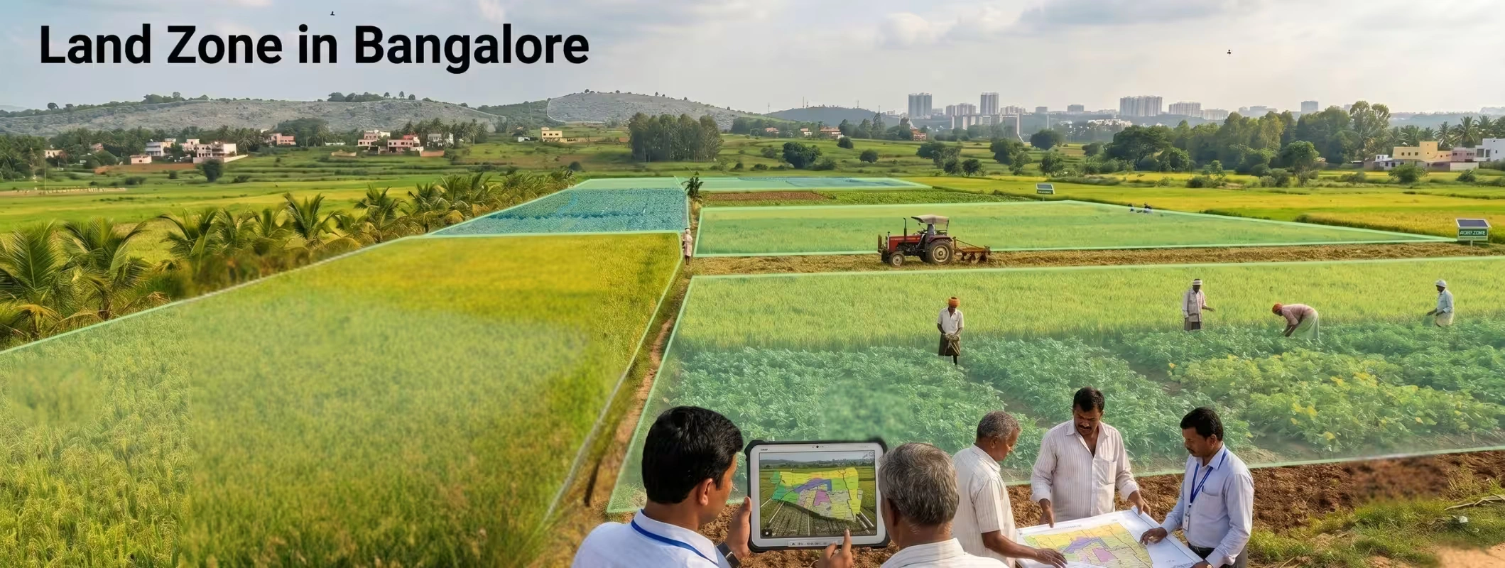
If you plan to buy, sell, or develop land in Bangalore, zoning is one of the first things you should check. It decides what kind of activity the land can support, what approvals may be needed, and whether your plan is realistic or risky. Ignore zoning, and you can walk straight into a bad purchase, approval delays, or a plot that sounds attractive in a brochure but does not support the use you actually want. The city’s zoning framework is tied to the master plan and its land-use regulations, not to guesswork.
What does Land Zoning mean in Bangalore
Land zoning in Bangalore means the planning authority has assigned a defined land-use category to a parcel or area under the master plan. The zoning regulations for Bengaluru’s Local Planning Area are meant to work with the proposed land-use plans so that land use, growth, and development controls remain organised. The same regulations also state that older lawful developments may continue as non-conforming uses, which is important when you are evaluating an older property that does not appear to match the current surrounding pattern.
In simple words, zoning tells you whether a plot is mainly meant for housing, commercial use, industrial use, agriculture, public use, transport infrastructure, utilities, open space, or another classification. That is why how to check land zone in Bangalore is not a small technical question. It is a due-diligence question.
Do not confuse BBMP zones with Land-use Zones
This is where many buyers get it wrong. A property may sit inside a BBMP administrative zone or ward, but that does not automatically tell you its land-use classification. The official Bengaluru GIS portal itself separates BBMP zones and wards from BDA Master Plan and Urban land usage layers. So a plot being in a certain BBMP zone is not the same as the plot being residential, commercial, agricultural, or industrial under the master plan.
Types of Land Zones in Bangalore
Here is a simple summary of the main Bangalore land use zones you should know.
| Land-use zone | What it generally means for buyers |
| Residential | Primarily housing-led use. Good for homes, subject to the permitted uses and development controls for that location. |
| Commercial | Intended for shops, offices, business activity, and other market-facing uses. |
| Industrial | Meant for industrial or production-related activity, depending on the permitted intensity. |
| Public & Semi Public | Schools, hospitals, government uses, institutions, and similar community-serving functions. |
| Traffic & Transportation | Roads, terminals, transport-linked land, and mobility-related uses. |
| Public Utilities | Utility infrastructure such as water, power, sewage, and related service land. |
| Park & Open Space | Open areas, green spaces, and protected recreational land. |
| Unclassified | Land that needs closer reading of the plan and authority guidance before assumptions are made. |
| Agriculture Land | Agricultural use, where urban plotting or construction assumptions can become risky without further approvals. |
The names of these categories come directly from the Bengaluru zoning regulations. Exact permissible uses, restrictions, and development controls still depend on the specific plot, planning district, road width, and applicable zoning rules, not just the headline category name.
Also Read: Bangalore Real Estate Trends 2026: Buyer & Investor Guide
How Bangalore Zoning is Organised
The zoning framework does not only classify land by use. It also conceptually organises the Local Planning Area into three rings: areas within the Core Ring Road, areas between the Core Ring Road and Outer Ring Road, and areas beyond the Outer Ring Road but within the Local Planning Area. The regulations say these correspond to Ring I, Ring II, and Ring III, and are also treated as Zone A, Zone B, and Zone C for TDR purposes.
For most ordinary buyers, this ring structure matters less than the land-use category. But if you are evaluating development potential, transfer of development rights, or larger planning implications, it is useful context.
How to Check Land Zone in Bangalore
1. Start with exact property details
Do not begin with a vague locality name. Keep the survey number, address, village name, khata details, or site reference ready. Zoning checks become much cleaner when you are matching a specific parcel rather than a general neighbourhood.
2. Open the official Bengaluru GIS or master-plan map source
The official Bengaluru GIS portal provides location-based search, BDA Master Plan, and Urban land usage map options. It also offers PDF, KML, and shape-file access for certain spatial datasets, which makes it one of the most practical starting points for zoning checks.
3. Find the correct planning district and land-use map
The BDA master-plan datasets instruct users to first identify the location on the index map and note the corresponding planning district number, then open the relevant land-use map for that planning district. Publicly indexed BDA land-use map files on the BBMP side also show district-level Proposed Land Use Map sheets under the Revised Master Plan.
4. Read the zone, not just the colour
Once the parcel is located, check what category it falls under: residential, commercial, agriculture, industrial, or another class. Then read the applicable regulations. The zoning regulations clearly state that the exact location and the specific rules for a particular zone must be verified from the proposed land-use zoning plans.
5. Cross-check if there is any doubt
The regulations also say that zonal boundaries may follow roads, valleys, village boundaries, and similar features, and where there is uncertainty, the matter should be referred to the authority for a final decision. That is important for edge plots, irregular sites, and properties on fast-changing roads.
6. Do not assume online maps alone are enough
The official Bengaluru GIS portal carries a direct disclaimer that the geospatial data is only representational and should not be used for legal purposes without validation. So the online map is a strong first filter, but serious transactions should also involve document review, planning verification, and where needed, professional legal or technical advice.
7. If the intended use does not match the zone, check the statutory route
If the current land use does not support your intended use, you may need a Change of Land Use process instead of trying to “manage later.” BMRDA lists Change of Land Use and Assigning New Land Use as formal planning services, and Karnataka planning authorities publish separate procedures for land-use change under the KTCP framework.
Why Zoning matters before you Buy or Sell Land in Bangalore
This is the part many people skip, and it is the costliest mistake. A plot can be marketed as a perfect residential site, a future commercial corner, or a high-growth investment parcel. But if the planning layer does not support that story, your risk goes up immediately.
Zoning affects whether the land use matches your goal, whether layout approval or development permission is realistic, and whether future conversion or land-use change will become an extra hurdle. Planning authorities within the Bengaluru Metropolitan Region also deal with technical opinion on agricultural conversion, layout approvals, development plans, and land-use change, which shows that zoning is linked to the approval chain, not just to map colour.
So, before you buy land in Bangalore or even shortlist farmland in Bangalore, check the zone first. And if you want to sell land in Bangalore, knowing the right zoning story helps you present the property honestly and credibly.
Where 2Bigha Fits in
Zoning checks tell you whether a parcel makes planning sense. Discovery platforms help you decide whether it makes market sense. That is where 2Bigha becomes useful. If you are exploring land opportunities and want a more location-first way to compare parcels, 2Bigha helps you shortlist land with better visibility. Then you can take that shortlist and verify zoning, access, and development suitability before you spend real money. That is a smarter workflow than chasing random listings and checking documents only after you get emotionally attached to a land.
Final Word
If you want the honest answer to how to check land zone in Bangalore, here it is: use the official land-use maps, identify the correct planning district, read the zoning category carefully, and never treat an online map as the last word. Bangalore zoning is a planning issue, not a rumour issue. The buyer who checks the zone early usually saves more money than the buyer who checks it late.
FAQs - Check Land Zone in Bangalore
1. How can I check the land zone of a property in Bangalore online?
Use the official Bengaluru GIS portal and open the BDA Master Plan or Urban land usage layer. Then locate the parcel, identify the planning district, and check the relevant land-use map and zoning category. The BDA map datasets themselves describe this as a planning-district-based process.
2. What are the main types of land zones in Bangalore?
The main categories listed in the Bengaluru zoning regulations are Residential, Commercial, Industrial, Public and Semi Public, Traffic and Transportation, Public Utilities, Park and Open Space, Unclassified, and Agriculture Land.
3. Is BBMP zone the same as land-use zone?
No. The official Bengaluru GIS portal treats BBMP zones and wards separately from BDA Master Plan and Urban land usage layers. Administrative location and land-use classification are not the same thing.
4. Can I rely only on the online zoning map?
No. The official Bengaluru GIS portal says its geospatial data is representational and should not be used for legal purposes without validation. Use it as a first check, not as the only check.
5. What if the plot is shown as agricultural land?
Treat that seriously. Agricultural classification can change the entire transaction logic, especially if someone is marketing the parcel as a regular urban plot. In such cases, you may need to look beyond the map and examine the approval, conversion, and land-use position through the competent planning route. BMRDA and other planning authorities publish formal procedures for land-use change and related approvals.
6. Who handles change of land use around Bangalore?
The competent authority depends on jurisdiction, but within the Bengaluru Metropolitan Region, BMRDA publicly lists Change of Land Use and Assigning New Land Use as services. Karnataka planning authorities also publish procedure details under the KTCP framework.
7. Why is zoning important before buying land in Bangalore?
Because zoning affects what the land can legally support, how approvals may work, and whether the seller’s pitch matches planning reality. It is one of the first filters you should clear before making any payment.
8. Can 2Bigha help with Bangalore land search?
Yes for discovery and shortlisting. 2Bigha can help you compare parcels in a cleaner, location-first way. But smart buyers still follow that with zoning and document verification before closing a deal.