Key Takeaways
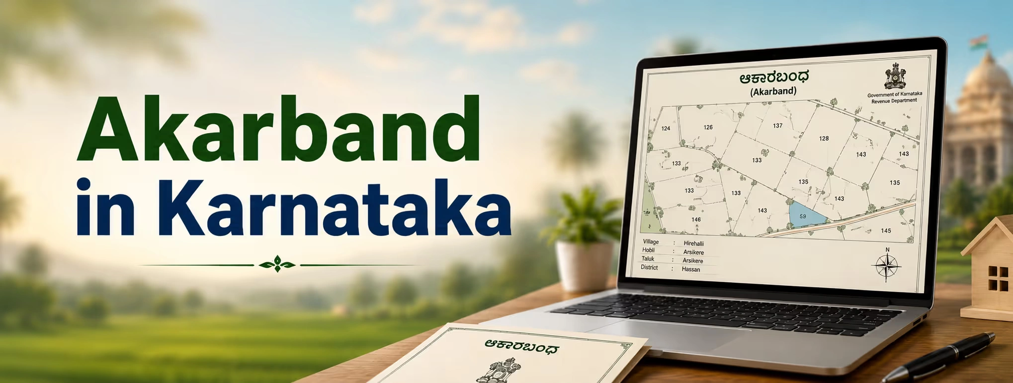
- Akarband is an official land revenue document maintained by the departments of Revenue and Survey of Karnataka which include survey number, land category, size, and taxation.
- This document is not the same as RTC (Pahani), Mutation Record, and Survey Sketch; however, the four documents are used in combination during the process of land verification.
- Akarband is highly significant for agricultural land for sale in my area, land conversion, and loan approval by banks on the security of land.
- The document can be verified and downloaded through the Bhoomi website and is frequently used in conjunction with Kaveri Online Services during Karnataka property registration.
- Potential buyers who plan to purchase land in Karnataka or sell land in Karnataka should necessarily verify Akarband information along with RTC and Encumbrance Certificate.
Introduction
When you plan for agriculture land for sale in karnataka, there are a variety of terms that you may come across while verifying documents. One such term that is extremely crucial, but often least understood, is that of Akarband. Akarband refers to the revenue land record which has some important information about survey number of the plot, type of plot, and taxes that have been paid on it. It can help you know about the authenticity of your purchase because it directly helps verify whether the land that you are buying is actually as it has been advertised by the seller. This guide explains the meaning and importance of Akarband in 2026.
What is Akarband in Karnataka?
Akarband (also written as ಅಕಾರ್ಬಂದ್ in Kannada) is a revenue register maintained by Karnataka's Survey, Settlement and Land Records (SSLR) Department, working alongside the Revenue Department. In simple terms, it is a village-level record that lists, survey number by survey number, the total area of land, its classification (such as agricultural, garden, or wet land), any "kharab" or unusable land within the plot, water sources present, and the annual land revenue assessment.
Think of Akarband as a factsheet for a piece of land. It does not tell you who currently owns the land in real time the way an RTC does, but it tells you the physical and revenue character of the land as originally surveyed and settled. This makes it a foundational document that other records, like RTC and Mutation extracts, build upon.
Why the Name "Akarband" Matters
The term comes from land revenue terminology used across Karnataka's villages for decades. Even though most records are now digitised through the Bhoomi system, the underlying structure and purpose of Akarband have remained the same: to provide a standardised, government-verified description of every surveyed parcel of land in a village.
Key Components of an Akarband Document
An Akarband typically includes the following details for a given survey number:
- Survey Number and Hissa Number – the unique identifiers for the land parcel and its sub-division.
- Village, Hobli, and Taluk details – the administrative location of the land.
- Total Extent of Land – measured in acres, guntas, or hectares.
- Land Classification – whether the land is dry (khushki), wet (bagayat), or garden land.
- Kharab Land – waste or unusable portions within the survey number that cannot be cultivated or built upon.
- Water Sources – wells, tanks, or channels associated with the land, if any.
- Annual Land Revenue Assessment – the tax amount fixed for the land.
Understanding each of these terms helps buyers avoid confusion. For example, 'kharab' land is a common point of dispute — anyone selling property online is expected to disclose this status upfront, yet sellers sometimes present a plot as fully usable agricultural land when a portion of it is actually recorded as kharab and cannot legally be cultivated or built on without a specific government order.
Akarband vs Other Karnataka Land Records
Buyers often confuse Akarband with other documents in the Karnataka land records system. Here is a simple comparison to clear the confusion.
| Document | Purpose | Maintained By | Key Use Case |
| Akarband | Records survey-wise land classification, extent, and tax assessment | Survey, Settlement and Land Records (SSLR) Department | Verifying land character before purchase, conversion, or loan |
| RTC (Pahani) | Shows current ownership, tenancy, and crop details | Revenue Department (via Bhoomi) | Confirming legal ownership and cultivation status |
| Mutation Record | Documents change of ownership after sale, inheritance, or gift | Revenue Department | Updating ownership records after a transaction |
| Survey Sketch/Map | Graphical representation of land boundaries | Survey Department | Verifying physical boundaries and shape of land |
| Encumbrance Certificate (EC) | Shows registered transactions and loans on a property | Department of Stamps and Registration (Kaveri) | Checking that land is free of legal or financial liability |
No single document tells the full story. A careful buyer should always check Akarband together with RTC, the Mutation Record, and the EC before making a decision, whether the goal is to buy land in Karnataka for personal use or as an investment.
Why Akarband is Important for Property Buyers and Investors
1. Proof of Land Classification
Akarband confirms whether land is agricultural, garden, or otherwise classified. This matters a great deal because agricultural land in Karnataka has restrictions on who can purchase it and how it can be used, unless it is formally converted.
2. Essential for Land Conversion
If you plan to build on agricultural land, you will need a land conversion (Bhoo Parivartane) order from the Deputy Commissioner's office. The Akarband's classification details form the basis on which this conversion application is assessed.
3. Required for Bank Loans
Banks routinely ask for Akarband when a landowner applies for a loan against agricultural property. It helps the lender confirm the extent and classification of the land being offered as collateral, which affects loan valuation.
4. Useful in Dispute Resolution
Boundary disputes and ownership disagreements are common in rural Karnataka. Akarband, along with the survey sketch, provides an official reference point that revenue officials and courts rely on when resolving such disputes.
5. Supports Government Scheme Applications
Farmers use Akarband details when applying for crop insurance, subsidies, or land development schemes, since these programmes typically require verified land extent and classification data.
How to Check and Download Akarband Online in 2026
However, in terms of land record digitization, Karnataka has made continuous strides via its Bhoomi portal (landrecords.karnataka.gov.in). Currently, around two crore of RTC records are maintained by the Bhoomi portal. In addition to that, in 2026, the government started working on scanning and digitizing historical records of revenues, which would make it easier to search for older Akarband entries online.
Here is a general step-by-step process to access Akarband-related information:
Step-by-Step Process
- Visit the official Bhoomi portal or an authorised land records service.
- Select Karnataka as the state.
- Enter the District, Taluk, Hobli, and Village details.
- Provide the Survey Number, Surnoc, and Hissa Number of the land in question.
- Submit the request and view or download the available record.
Even for getting the official certified document with an official stamp, applicants might have to personally visit the Tahsildar office/local revenue department in some cases, because there are some certified documents that are still unavailable online.
A Practical Example
Consider a buyer evaluating a two-acre farm land for sale in Karnataka, located near Doddaballapur. Before making an offer, they check the Akarband and notice the recorded extent is 2 acres 10 guntas, while the seller has quoted only 2 acres. A quick cross-check with the RTC and survey sketch reveals the difference is due to a small strip of kharab land included in the survey number. This kind of discrepancy, easy to miss without checking Akarband, can affect both price negotiation and future construction plans.
Recent Updates in Karnataka Land Records System (2026)
Karnataka's land administration has seen several notable developments relevant to Akarband and property transactions:
- With the launch of Kaveri 2.0, which is the state's online registration system, the process of registering property has become quite fast, where most of the registrations have been reported to be done in less than an hour, as opposed to several hours earlier.
- Revision of registration charge: Starting from the end of August 2025, the registration charges in the state of Karnataka have been increased from 1% to 2% of the property value. With the stamp duty of 2% to 5% and cess/surcharge, the total statutory cost for the high value properties may touch 7.5% to 7.6%.
- Auto mutation: Certain mutations that are not needed to be verified in the field, like bank mortgage, court orders, etc., have started getting automated from April 2024, taking usually 24 hours to complete linking the registration to the land records.
- Scanning of legacy records: There has been an ongoing scanning of a huge number of historical revenue records, to make the old survey/Akarband records searchable without visiting the archives.
- Integration with E-Khata: Urban properties have been linked to E-Khata, so that registration information gets updated automatically to the local body taxes.
These changes matter for anyone budgeting for Karnataka property registration in 2026, since the total transaction cost is now noticeably higher than it was a few years ago.
Common Mistakes Buyers Make While Checking Akarband
- Ignoring kharab land entries, which can reduce the actually usable area of a plot.
- Not matching Akarband classification with RTC, especially when land has already been converted for non-agricultural use but the Akarband has not been updated.
- Skipping the Podi (sub-division) verification when buying a portion of a larger survey number, which can lead to extent mismatches later.
- Relying only on the seller's word instead of independently verifying survey number, extent, and classification through official records.
- Overlooking the Encumbrance Certificate, since Akarband alone does not confirm whether the land is free of loans or legal disputes.
A disciplined approach that combines Akarband, RTC, Mutation Record, and EC checks significantly reduces the risk of disputes after purchase.
Role of Technology Platforms in Simplifying Land Verification
Manually visiting multiple government offices to gather land records can be time-consuming, especially for buyers based outside the property's district. This is where property management service platforms and land-data aggregators are becoming useful. Platforms such as 2Bigha help users explore property insights, review land records, and evaluate investment opportunities in one place, making it easier for buyers and investors to conduct preliminary due diligence before visiting government offices for certified copies. While such platforms cannot replace official verification at the Tahsildar's office or Sub-Registrar's office, they can meaningfully speed up early-stage research when you buy land in Karnataka or explore agricultural land for sale near me.
Tips for a Smooth Land Transaction in Karnataka
- Always start with the survey number, not just the address, since Karnataka's land records system is organised around survey numbers.
- Cross-check Akarband, RTC, and EC together before paying any advance amount.
- Confirm land classification and conversion status if you intend to build.
- Verify Podi (sub-division) records for any plot carved out of a larger survey number.
- Budget for updated stamp duty and registration charges, since Karnataka's rates have changed in recent years.
- Use official portals like Bhoomi and Kaveri Online Services for the latest available data, and confirm final details at the local revenue office.
- Consult a local property lawyer or verified property management service for high-value transactions.
Conclusion
Understanding Akarband in Karnataka is a small but essential step for anyone planning to buy, sell, or invest in land across the state. It reveals details about land classification, extent, and tax assessment that other documents like RTC and Mutation Records do not fully capture on their own. Whether you are conducting a farmland search in Karnataka, preparing for Karnataka property registration, or simply trying to confirm that a plot listed as agriculture land for sale near me is accurately described, checking the Akarband alongside other land records is a practical way to protect your investment. As Karnataka continues to digitise its land records through Bhoomi and Kaveri 2.0, accessing and verifying this information is becoming easier every year. Take the time to check it properly, cross-verify with official sources, and make your property decisions with confidence rather than assumption.
Disclaimer: This article is for informational purposes only and should not be considered investment, legal, financial, or property advice. Real estate regulations, infrastructure plans, market conditions, and government policies may change over time. Readers are advised to verify information with relevant authorities and consult qualified professionals before making any investment or property-related decisions.