List Your Land
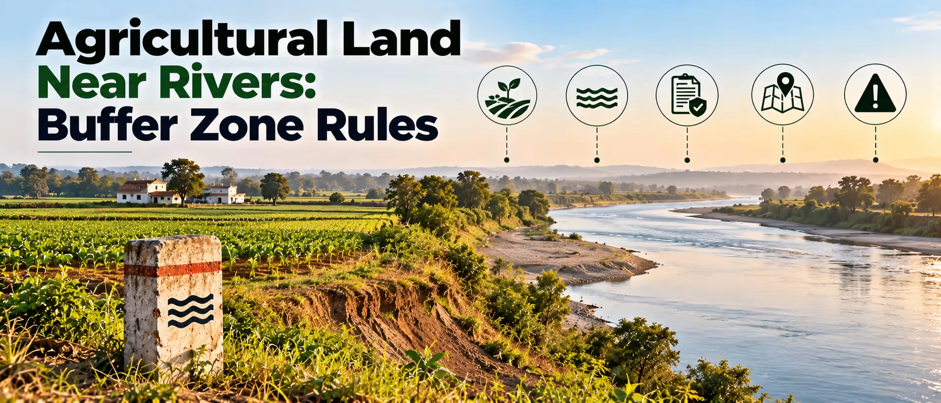
Land near a river, a lake supplied by canals, or a reservoir comes with natural benefits, as it always has rich soil, a high water table, and the view raises its value. This is also the place where the government imposes some of the toughest regulations because the river floods, the reservoir overflows, and the land surrounding it serves as a buffer for the water body. If the buyer fails to follow these regulations, he may end up with land that gets flooded during the monsoons or cannot be built upon at all.
Why Water Frontage Attracts Buyers and Why It Needs Extra Checks?
People who search for farm lands near me often put riverside and lakeside plots at the top of their list, because water access means easier irrigation and a good setting for a farmhouse or a farm stay. These plots also tend to be marketed as premium, which pushes the price above comparable land inland.
However, there is a problem here because a plot could be legally near water but not be legally accessible. The floodplain, buffer, and reservoir levels are all determined by different authorities, and none of them is mentioned in a sale deed. This is why the first visit should also include an inspection of the water body’s boundaries.
Floodplains, Buffer Zones and Full Reservoir Levels Explained
There are three terms that repeatedly arise in this context.
Floodplain. A floodplain is the flat ground adjacent to a river that usually becomes flooded as a result of a rise in the water level in the river, ranging from the river bank to the outer limits of the valley. This term does not mean unoccupied land, since it holds extra water in case of flooding and recharges the groundwater. That is the reason why there is an effort to keep this land free from heavy construction activities.
Buffer Zone. A buffer zone is a strip of land maintained free or regulated around a river, lake, or tank, which allows the water body to expand and stay away from pollution. In the case of the Ganga and its tributaries, the national guidelines define the buffer zone as the land beyond the construction-free zone that reduces pollution sources and pressures on the river.
Full Reservoir Level (FRL) and Submergence Area. The FRL refers to the maximum level of water in a dam or reservoir. The land below FRL is the submergence area, while the land above FRL is regulated. Many states have similar terms for lakes and tanks, such as Full Tank Level.
Restrictions That Commonly Apply Near Rivers
It is important to note that any buyer interested in purchasing plot land adjacent to a river should be aware of the numerous NGT orders concerning floodplain construction and the varying distances. Some examples include:
- In one of the NGT orders' summaries, there is a statement that no construction should take place within 500 meters of the central line of the river.
- In one case regarding the River Tedhi in Gonda, the NGT banned construction within 200 meters of the high flood level from the centre of the river until further orders.
- The floodplain zoning guidelines issued by the National Disaster Management Authority classify the floodplain according to the frequency of the expected floods and establish the distances from the flood return periods of 5, 25, and 100 years. The names and guidelines vary in different documents and states.
There can be individual laws adopted by each state. One example is the Uttarakhand Flood Plain Zoning Act, 2012.
The NGT has also taken notice of farmhouses on riverbeds. In 2025, it took up a case about farmhouses allowed on the Hindon River floodplain in an area meant for natural conservation, which shows that agricultural land does not escape scrutiny just because the building is called a farmhouse.
| Activity | Typical position near a river |
|---|---|
| Growing crops | Usually allowed, sometimes with limits on chemicals |
| Farmhouse or residence | Often barred or limited inside the floodplain zone |
| Boundary walls and fencing | May be restricted if they block flood flow |
| Sand or soil extraction | Usually prohibited without a licence |
| Commercial buildings, resorts | Commonly prohibited in no construction zones |
| Borewells | May need permission in some areas |
Rules for Land Around Reservoirs, Lakes and Tanks
Reservoirs have their own rules. The land below the full reservoir level falls under the category of submergence, which implies that the land could be submerged in heavy rainfall years and is prone to acquisition by the irrigation or water resources department. The land above this level could be controlled by means of buffer distances specified by the state. Some states demarcate protected strips along lakes or tanks in their master plans. Look out for these in any plot near a reservoir:
- Is any portion of the plot below the full reservoir level or full tank level?
- Has the department issued any notification regarding the buffer or green belt around the water body?
- Does the village map indicate a lake, tank, or water channel flowing through or adjoining the plot?
- Is the water body designated as a wetland, which needs special protection?
Records and Maps to Verify Before Buying
Quite a few people who discover a farm being put up for sale nearby depend on the agent's information as regards the distance between the farm plot and the river.
- Latest records regarding the land and Mutation Entry
- Map of the village depicting the river, tank or reservoir boundary
- Flood Zone map or notification, if available in your state
- High Flood Level Certificate or Full Reservoir Level Certificate issued by Irrigation/Water Resources Department
- Certification in writing that there is nothing on the land as per notification or acquisition for submergence
- Certificate regarding the land use status and any conversion orders passed in this regard
- Encumbrance Certificate
- Sketch prepared by the surveyor of the distance from the water body /floodline
In the case where the seller is unable to provide proof as regards flood level or buffer, ask the local irrigation department about the same, as the answer will tell you whether a house can ever be constructed.
Key Risks of Buying Near a River or Reservoir
| Risk | Why it matters | How to reduce it |
|---|---|---|
| Plot lies inside a floodplain or no-construction zone | Building is barred, and existing structures may be removed | Get the zone map and mark the plot on it |
| Seasonal flooding | Crops and fences get damaged | Visit in the monsoon and ask neighbours about past floods |
| Submergence or acquisition | Part of the land may be taken for a dam or reservoir | Ask for the FRL certificate and acquisition status |
| River changes course | Boundaries shift, and land can be lost to erosion | Check old maps and signs of bank erosion |
| Illegal structures nearby | Authorities may demolish them, and nearby plots lose value | Look at what neighbours have built and whether it is approved |
| Pollution and water quality | Irrigation water may be poor | Test the water before buying |
| Resale difficulty | Banks and buyers avoid doubtful plots | Keep all clearances in writing |
Step-by-Step Checklist Before You Pay
For any agriculture land near me with a river or lake nearby, follow this order:
- Identify the water body and the department that takes care of it.
- Find out whether there is floodplain zoning notification or buffer regulations in your state.
- Hire a surveyor to find out the distance of the plot from the riverbank, high flood level, or reservoir level.
- Get the FRL or flood level certificate from the irrigation department.
- Find out whether there is an acquisition or submergence notice.
- Visit the place during the rainy season and speak to the farmers around.
- Find out the land use and construction permission.
- Get the title and the clearance papers checked by a lawyer.
- Pay in installments after getting the documents.
What Sellers Should Prepare?
Landowners who have land located near water get better offers if the flood and buffer issues are already sorted out. Have at hand the revised land documents, the village map highlighting the water body, the FRL or flood level details, a surveyor’s rough drawing with distance details, and photographs of the land during monsoon. The buyers in this category are cautious, so proper documentation will speed up the process and minimize price negotiations.
How 2Bigha Helps You Buy and Sell Land Near Water?
Waterside plots have more points to check than a regular listing, and that is where 2Bigha helps. The platform lists agricultural land and farmland across India, with background verification reports that review ownership records and other checks before you commit. Buyers can browse listings, book site visits, and compare options without depending on a broker.
If you want to sell plots near a river or reservoir, 2Bigha puts your listing in front of buyers who are already looking for farmland, and your documents are presented in an organised way. Visit 2Bigha to explore listings or to list your land.
Disclaimer: This article is for informational purposes only and should not be considered investment, legal, financial, or property advice. Real estate regulations, infrastructure plans, market conditions, and government policies may change over time. Readers are advised to verify information with relevant authorities and consult qualified professionals before making any investment or property-related decisions.