Key Takeaways
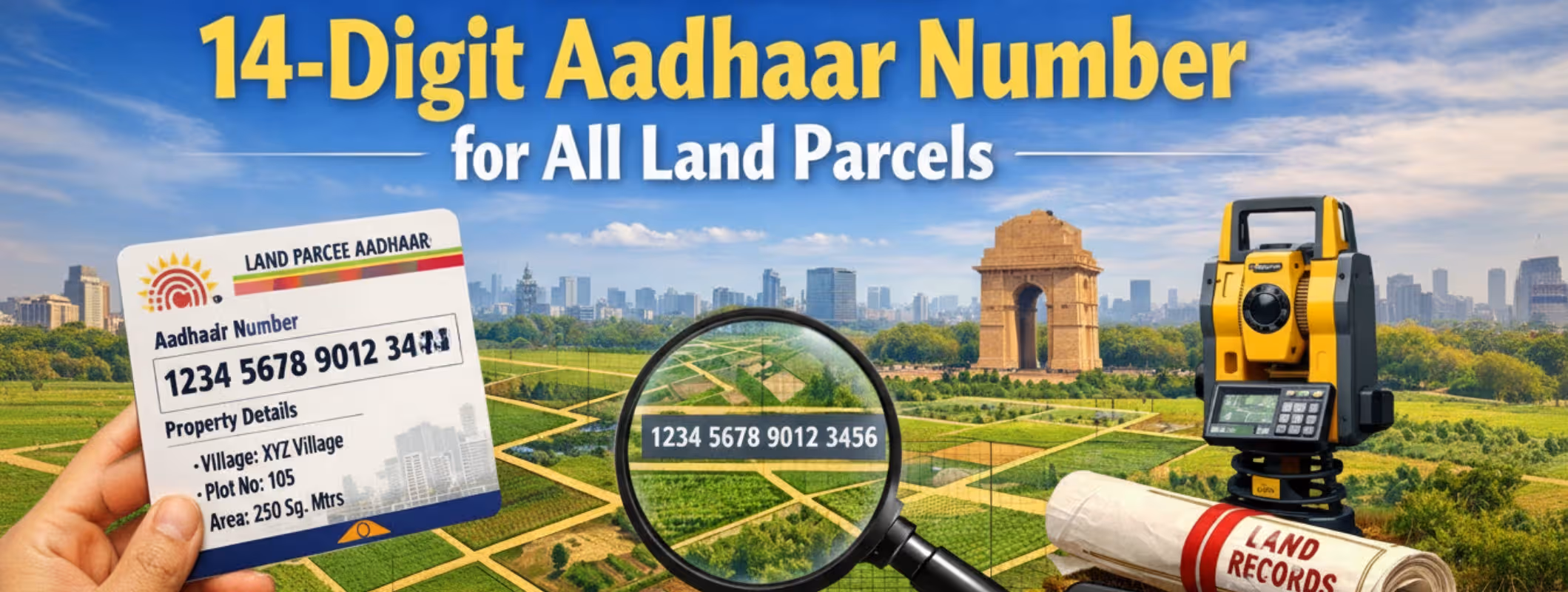
- Bhu-Aadhaar gives every land parcel a 14-digit unique ID
- Land records are becoming clearer and more reliable
- A pilot project has already started in Kotla village
- Land systems are slowly moving away from confusion
- People can make land decisions with more confidence
Land Ownership in Delhi is Entering a New Phase
For a long time, selling or buying land in Delhi hasn’t been easy. Paperwork moved slowly. Ownership records were often unclear. Measurements changed from place to place. And most people had to depend on brokers just to understand basic land details. Even serious buyers felt unsure because checking land information on their own was difficult. Because of this, land transactions were stressful. People hesitated. Trust was low. That’s where Bhu-Aadhaar comes in.
Bhu-Aadhaar is a 14-digit unique identification number given to every land parcel. Think of it like an Aadhaar card but it’s for land. Its goal is simple: give land a clear identity that can be tracked, verified, and trusted.
This step connects Delhi with national digitization efforts like the Digital India Land Records Modernization Programme and the SVAMITVA scheme. All of them are working toward the same idea, clear land records and fewer disputes.
Why Land Record Digitization Matters in India?
In India, land is not just property.
- It is family security.
- It is income.
- It is an emotional value passed down through generations.
But land records have long had problems:
- Different measurement systems in different areas
- Old or incomplete ownership records
- Too much paperwork
- Heavy dependence on middlemen
Because of this, land deals often took months and still felt uncertain. Digitization changes this at the root level. When records are updated, standardized, and stored digitally, confusion reduces. When confusion reduces, trust increases. And when trust increases, people feel safer making decisions.
How Bhu-Aadhaar is Being Implemented in Delhi?
To test how the system works in real life, the Delhi government started a pilot project in Kotla village, West Delhi.
- 274 land parcels were assigned Unique Land Parcel Identification Numbers (ULPINs)
- Each parcel was mapped using georeferencing
Georeferencing means linking land to exact digital map coordinates. This helps in:
- Clearly defining land boundaries
- Avoiding overlapping claims
- Making ownership checks faster
The pilot is small, but it shows how the system can work on a larger scale across Delhi in the future.
Land Digitization Across India: The Bigger Picture
Delhi is not alone in this shift. Land digitization is already active in 29 states and Union Territories, including Andhra Pradesh, Uttar Pradesh, Karnataka, and Tamil Nadu.
- Access land information remotely
- Speed up ownership verification
- Reduce dependence on informal middlemen
What This Means for the Future of Land in Delhi?
As Bhu-Aadhaar strengthens land records and digital platforms improve access, Delhi’s land system is slowly becoming more dependable.
For people, this means:
- Fewer assumptions
- Less confusion
- Better-informed decisions
Land decisions are often life decisions. When records are clear and information is easy to access, confidence replaces doubt. And that is the real shift happening—not overnight, but step by step.
Conclusion
Bhu-Aadhaar marks an important change in how land records are managed in Delhi. By giving each land parcel a unique ID and linking it with digital mapping, the system improves accuracy and verification.
As these reforms continue, land information is expected to become clearer and more accessible. This can reduce disputes, limit unnecessary dependence on intermediaries, and support smarter land decisions. The change will take time, but the direction is clear: from confusion to clarity.